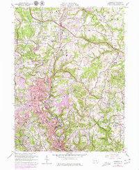
1960 Map of Glenshaw
USGS Topo · Published 1979About this map
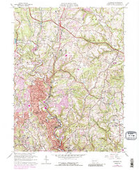
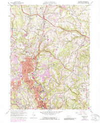
Pine Creek and the Baltimore and Ohio rail line carve through the heart of this landscape, connecting a string of established suburban communities north of Pittsburgh. The area reflects a mid-century period of institutional and residential expansion, characterized by a high concentration of religious and educational sites such as St Marys Sch and the Adath Jeshurun Chapel. The map reveals the historical placement of the KDKA Radio Station in Allison Park, a significant landmark in early broadcasting history.
Find a feature on this map
79 named features on this map. Tap any name to fly to it.
Don’t see what you’re looking for? This feature index may not catch every label — zoom into the map to look around manually.
Map Details
Editions of this 1960 Glenshaw Map
6 editions found
Other maps of this area

1904 · Mc Keesport
USGS Topo · 1:62,500

1904 · Carnegie
USGS Topo · 1:62,500

1906 · Carnegie
USGS Topo · 1:62,500

1906 · Sewickley
USGS Topo · 1:62,500

1907 · Pittsburg
USGS Topo · 1:62,500

1908 · Sewickley
USGS Topo · 1:62,500

1908 · Carnegie
USGS Topo · 1:62,500

1908 · New Kensington
USGS Topo · 1:62,500

1910 · New Kensington
USGS Topo · 1:62,500

1948 · Pittsburgh West
USGS Topo · 1:24,000