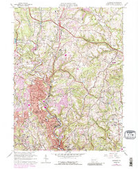
1960 Map of Glenshaw
USGS Topo · Published 1988About this map
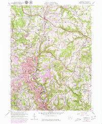
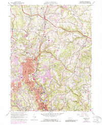
Pine Creek and the Baltimore and Ohio railroad corridor anchor the settlement patterns of this north Allegheny County landscape during a period of significant post-war expansion. The map documents the suburbanization of Glenshaw, Allison Park, and Etna, while preserving evidence of earlier institutional and social foundations. Large sectarian and community landholdings are prominent, including the Mt Royal Cemetery, Beth Shalom Cemetery, and Greenwood Cemetery.
Find a feature on this map
116 named features on this map. Tap any name to fly to it.
Don’t see what you’re looking for? This feature index may not catch every label — zoom into the map to look around manually.
Map Details
Editions of this 1960 Glenshaw Map
6 editions found
Other maps of this area

1904 · Mc Keesport
USGS Topo · 1:62,500

1904 · Carnegie
USGS Topo · 1:62,500

1906 · Carnegie
USGS Topo · 1:62,500

1906 · Sewickley
USGS Topo · 1:62,500

1907 · Pittsburg
USGS Topo · 1:62,500

1908 · Sewickley
USGS Topo · 1:62,500

1908 · Carnegie
USGS Topo · 1:62,500

1908 · New Kensington
USGS Topo · 1:62,500

1910 · New Kensington
USGS Topo · 1:62,500

1948 · Pittsburgh West
USGS Topo · 1:24,000