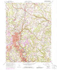
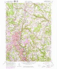
1960 Map of Glenshaw
USGS Topo · Published 1988About this map
Pine Creek carves a deep valley through the northern suburbs of Pittsburgh, anchoring a landscape of tight-knit residential developments and old family cemeteries. This 1960 record, with updates into the late 1970s, captures the suburban expansion across Shaler and Hampton townships. Along the Baltimore and Ohio rail line, communities like Glenshaw and Allison Park show dense settlement patterns, while the heights above the valley are home to institutional landmarks like Shady Side Academy and the massive Mt Royal Cemetery. In the northern reaches, a Drive-in Theater and the Radio Sta (KDKA) tower site mark the era's cultural footprint. Further east, the Pennsylvania Turnpike cuts through Indiana township, passing near Lakewood Memorial Gardens as the terrain shifts toward the more open, rolling spaces of West Deer.
Find a feature on this map
87 named features on this map. Tap any name to fly to it.
Don’t see what you’re looking for? This feature index may not catch every label — zoom into the map to look around manually.
Map Details
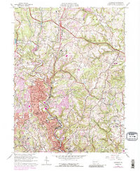
Editions of this 1960 Glenshaw Map
6 editions found
Other maps of this area

1904 · Mc Keesport
USGS Topo · 1:62,500

1904 · Carnegie
USGS Topo · 1:62,500

1906 · Carnegie
USGS Topo · 1:62,500

1906 · Sewickley
USGS Topo · 1:62,500

1907 · Pittsburg
USGS Topo · 1:62,500

1908 · Sewickley
USGS Topo · 1:62,500

1908 · Carnegie
USGS Topo · 1:62,500

1908 · New Kensington
USGS Topo · 1:62,500

1910 · New Kensington
USGS Topo · 1:62,500

1948 · Pittsburgh West
USGS Topo · 1:24,000