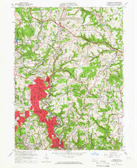
1960 Map of Glenshaw
USGS Topo · Published 1966About this map
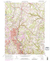
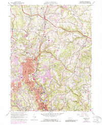
Pine Creek carves a central corridor through this 1960s study of northern Allegheny County, where post-war suburban development begins to fill the valleys between Shaler and Hampton townships. The map records a landscape in transition, where established communities like Glenshaw and Etna are bordered by extensive institutional and recreational lands, including the massive North Park and the grounds of Shady Side Academy. Notable for genealogists and local historians, the sheet identifies numerous burial grounds such as Mt Royal Cemetery, Torath Chaim Cem, and Beth Shalom Cemetery. The transportation network is anchored by the Baltimore and Ohio Railroad and the Pennsylvania Turnpike, while the presence of Oil Wells and the historic Radio Sta (KDKA) reflect the region's industrial and cultural contributions to the Pittsburgh area.
Find a feature on this map
95 named features on this map. Tap any name to fly to it.
Don’t see what you’re looking for? This feature index may not catch every label — zoom into the map to look around manually.
Map Details
Editions of this 1960 Glenshaw Map
6 editions found
Other maps of this area

1904 · Mc Keesport
USGS Topo · 1:62,500

1904 · Carnegie
USGS Topo · 1:62,500

1906 · Carnegie
USGS Topo · 1:62,500

1906 · Sewickley
USGS Topo · 1:62,500

1907 · Pittsburg
USGS Topo · 1:62,500

1908 · Sewickley
USGS Topo · 1:62,500

1908 · Carnegie
USGS Topo · 1:62,500

1908 · New Kensington
USGS Topo · 1:62,500

1910 · New Kensington
USGS Topo · 1:62,500

1948 · Pittsburgh West
USGS Topo · 1:24,000