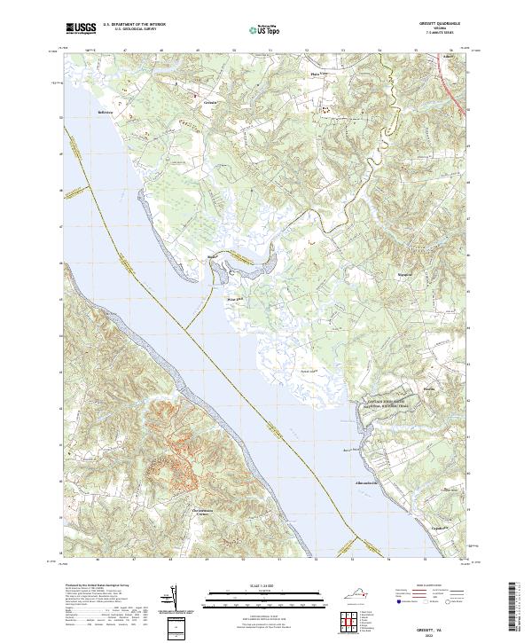
2022 Map of Gressitt
USGS Topo · Published 2022About this map
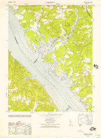
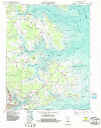
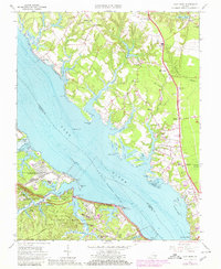
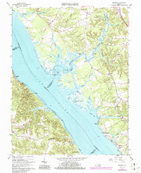
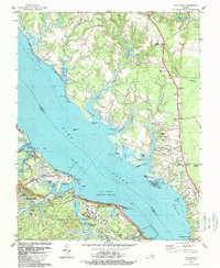
The York River dominates this coastal landscape, serving as the focal point for colonial history and maritime activity. Tracing the river's path, the Captain John Smith National Historic Trail follows the northern shore near Purtan Bay, marking a route of profound significance to early American history. The shoreline is characterized by a complex network of wetlands and tidal inlets, including Woods Mill Swamp and the tidal reaches of the Poropotank River.
Find a feature on this map
122 named features on this map. Tap any name to fly to it.
Don’t see what you’re looking for? This feature index may not catch every label — zoom into the map to look around manually.
Map Details
Editions of this 2022 Gressitt Map
This is the sole edition of this map. No revisions or reprints were ever made.
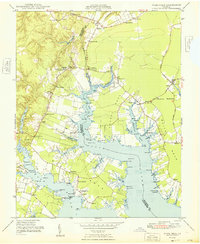
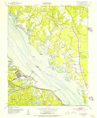
Historical Maps of Adner Through Time
21 maps found

1906 Williamsburg
Gloucester County, VA

1948 Achilles
Gloucester County, VA
1948 Ware Neck
Gloucester County, VA
1952 Clay Bank
Gloucester County, VA
1952 Gloucester
Gloucester County, VA
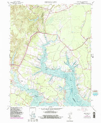
1952 Gressitt
Gloucester County, VA
1953 Gloucester
Gloucester County, VA
1953 Gressitt
Gloucester County, VA
1957 Achilles
Gloucester County, VA
1965 Achilles
Gloucester County, VA
1965 Clay Bank
Gloucester County, VA
1965 Gloucester
Gloucester County, VA
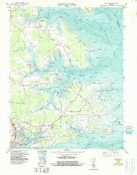
1965 Gressitt
Gloucester County, VA
1965 Ware Neck
Gloucester County, VA
1983 Achilles
Gloucester County, VA
1984 Clay Bank
Gloucester County, VA
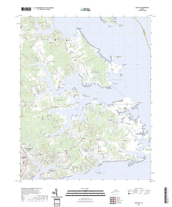
2022 Achilles
Gloucester County, VA
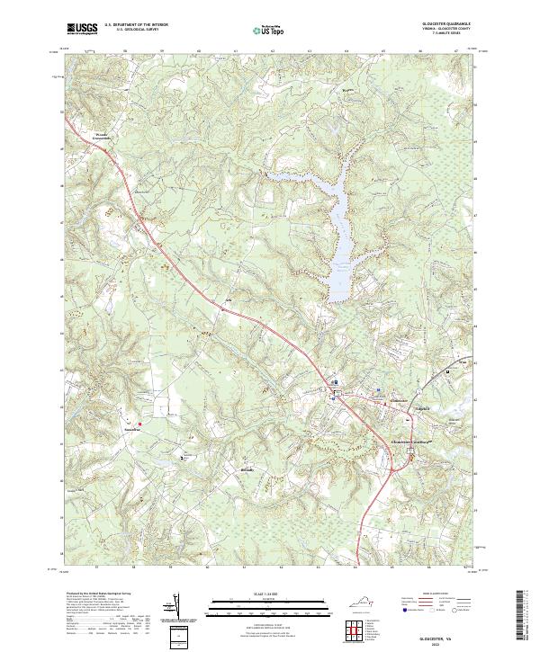
2022 Gloucester
Gloucester County, VA
2022 Gressitt
Gloucester County, VA
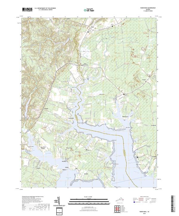
2022 Ware Neck
Gloucester County, VA
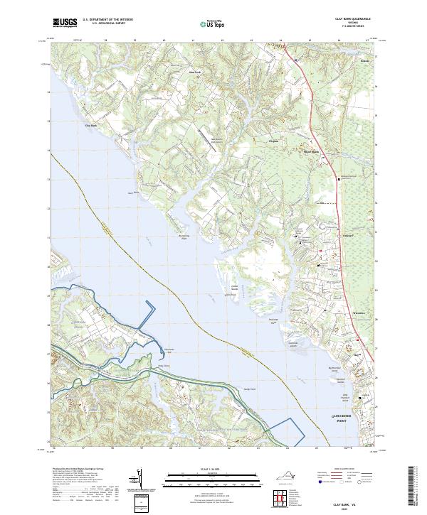
2023 Clay Bank
Gloucester County, VA