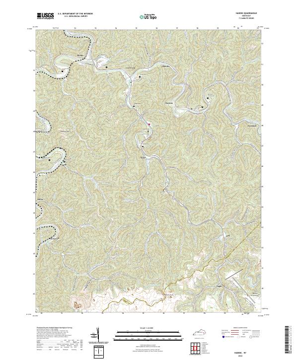
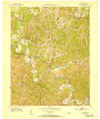
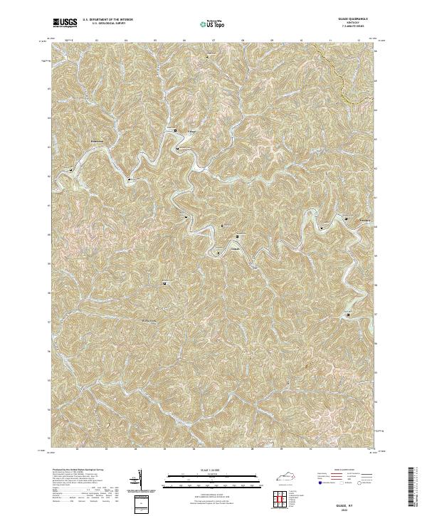
2022 Map of Haddix
USGS Topo · Published 2022About this map
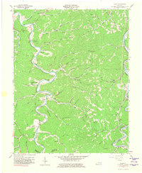
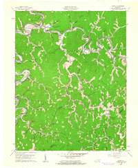
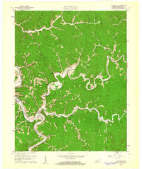
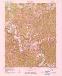
The North Fork Kentucky River winds through the northwest corner of this Breathitt County landscape, where the communities of Haddix and Lost Creek anchor a network of narrow hollows and steep ridges. The terrain is defined by its watercourses, from the meandering Troublesome Creek to smaller tributaries like Stillhouse Br and Rye Cove Br. Significant local family names are preserved in the naming of cemeteries and roads, such as McIntosh Cemeteries, Roberts Cem, and Marie Roberts Rd. The southern reach of the quadrangle shows a shift in land use, featuring the Wendell H Ford Airport near the border of Breathitt Co and Perry Co. Numerous hollows like Mullins Hollow and Orchard Hollow reflect the traditional settlement patterns of the Kentucky mountains, where homes and roads like State Hwy 15 follow the natural contours of the stream valleys.
Find a feature on this map
104 named features on this map. Tap any name to fly to it.
Don’t see what you’re looking for? This feature index may not catch every label — zoom into the map to look around manually.
Map Details
Editions of this 2022 Haddix Map
This is the sole edition of this map. No revisions or reprints were ever made.
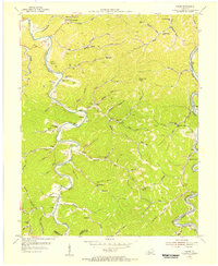
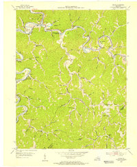
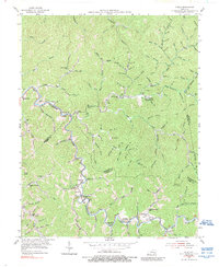
Historical Maps of Engle Through Time
20 maps found
1951 Guage
Breathitt County, KY
1951 Quicksand
Breathitt County, KY
1951 Tiptop
Breathitt County, KY
1952 Tallega
Breathitt County, KY
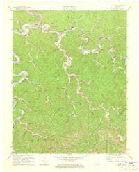
1954 Canoe
Breathitt County, KY
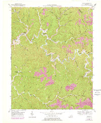
1954 Haddix
Breathitt County, KY
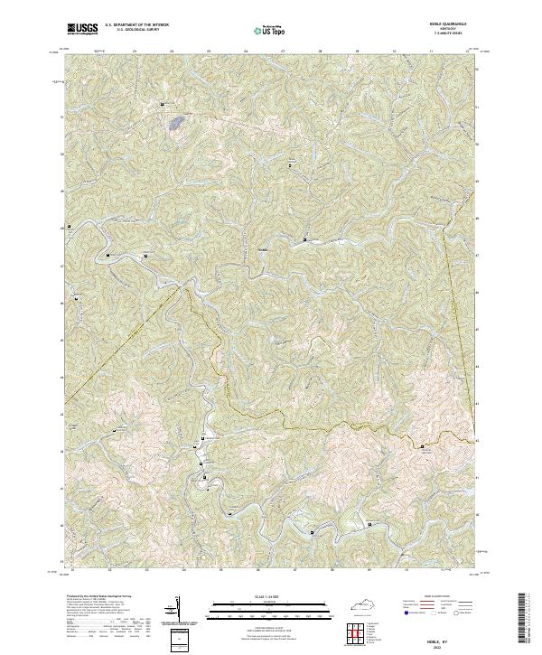
1954 Noble
Breathitt County, KY
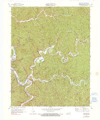
1961 Canoe
Breathitt County, KY
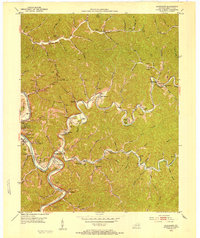
1961 Haddix
Breathitt County, KY
1961 Quicksand
Breathitt County, KY
1961 Tallega
Breathitt County, KY
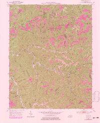
1972 Haddix
Breathitt County, KY
1972 Quicksand
Breathitt County, KY
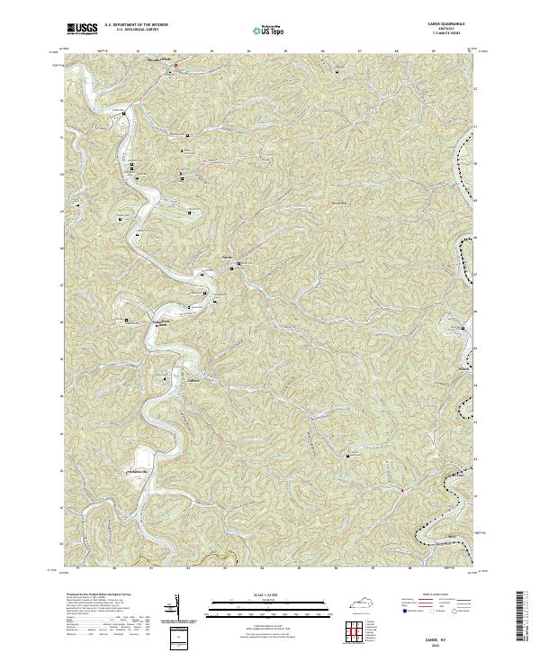
2022 Canoe
Breathitt County, KY
2022 Guage
Breathitt County, KY
2022 Haddix
Breathitt County, KY
2022 Noble
Breathitt County, KY
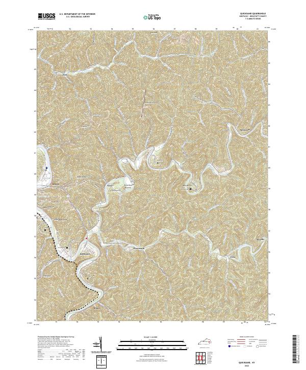
2022 Quicksand
Breathitt County, KY
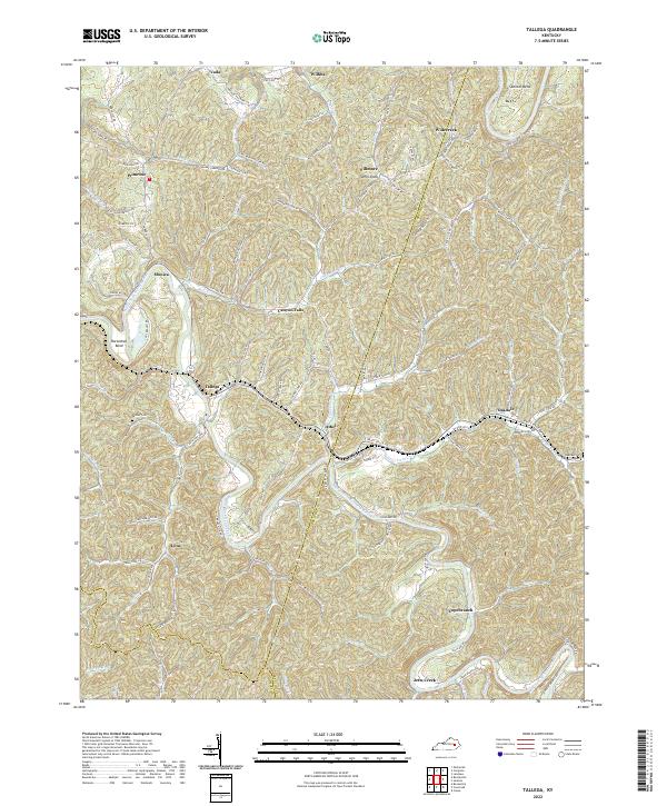
2022 Tallega
Breathitt County, KY
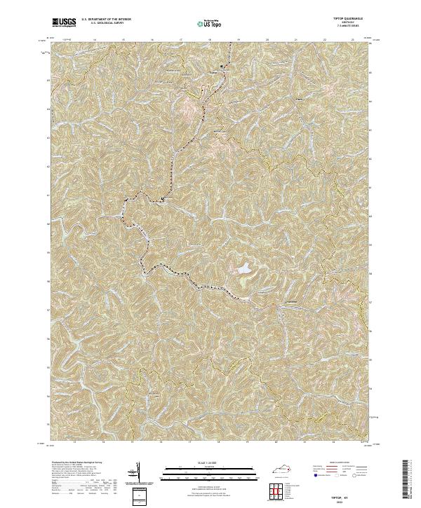
2022 Tiptop
Breathitt County, KY