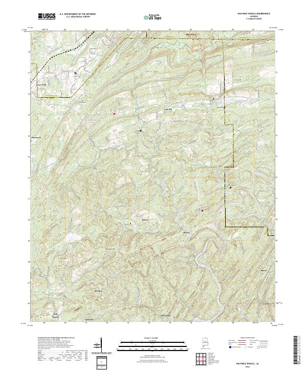
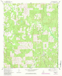
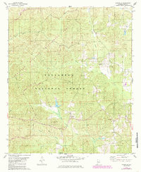
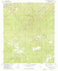
2024 Map of Halfmile Shoals
USGS Topo · Published 2024About this map
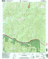
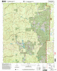
Cahaba River frontage and the dissected ridges of the Birmingham mineral district define this region where the borders of Bibb, Jefferson, Shelby, and Tuscaloosa counties converge. The landscape is characterized by a series of parallel elevations, notably Shades Mountain, Sand Mtn, and Missionary Ridge, which channel drainage into numerous creeks like Cane Creek and Shades Creek.
Find a feature on this map
108 named features on this map. Tap any name to fly to it.
Don’t see what you’re looking for? This feature index may not catch every label — zoom into the map to look around manually.
Map Details
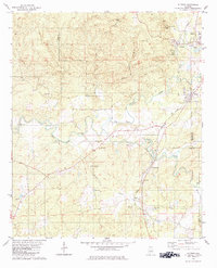
Editions of this 2024 Halfmile Shoals Map
This is the sole edition of this map. No revisions or reprints were ever made.
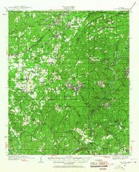
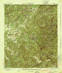
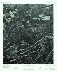
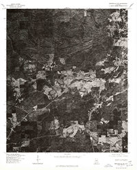
Historical Maps of McCulley Through Time
27 maps found
1934 Blocton
Bibb County, AL
1940 Blocton
Bibb County, AL
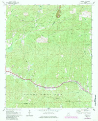
1969 Pearson
Bibb County, AL
1971 Randolph
Bibb County, AL
1975 Blocton NE
Bibb County, AL
1975 Montevallo SW
Bibb County, AL
1979 Aldrich
Bibb County, AL
1979 Pondville
Bibb County, AL
1979 West Blocton West
Bibb County, AL
1980 Centreville East
Bibb County, AL
1980 Centreville West
Bibb County, AL
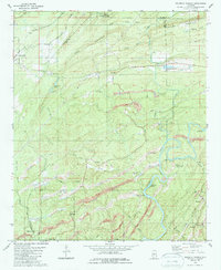
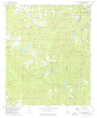
1980 Halfmile Shoals
Bibb County, AL
1980 West Blocton East
Bibb County, AL
2002 Centreville East
Bibb County, AL
2002 Centreville West
Bibb County, AL
2002 Pearson
Bibb County, AL
2002 Pondville
Bibb County, AL
2002 Randolph
Bibb County, AL
2024 Aldrich
Bibb County, AL
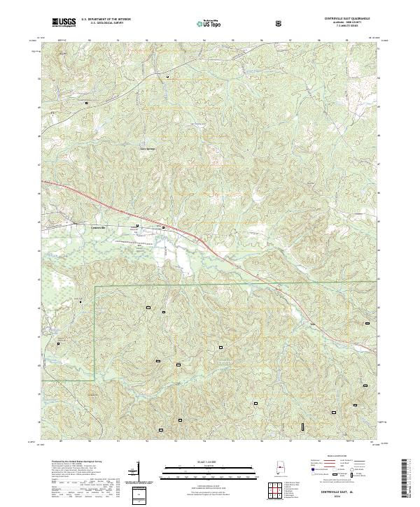
2024 Centreville East
Bibb County, AL
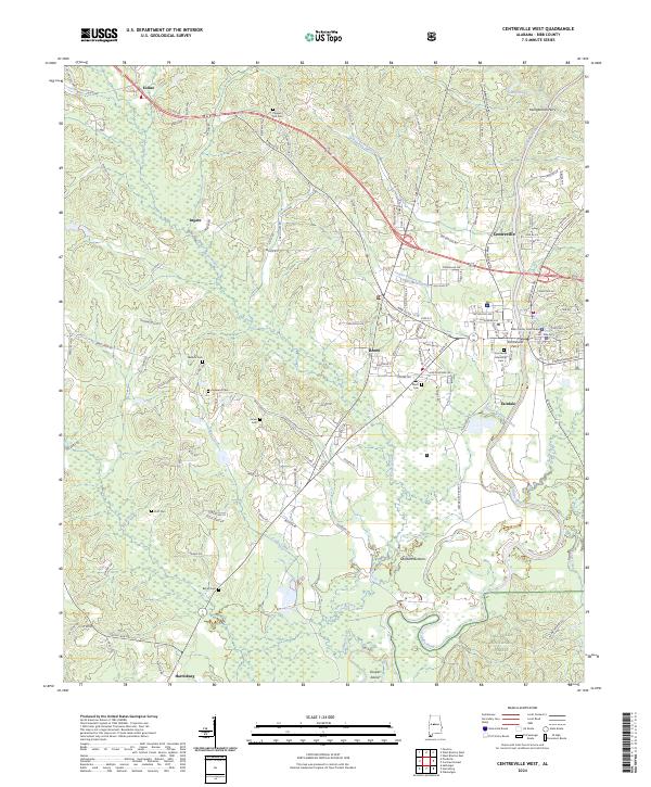
2024 Centreville West
Bibb County, AL
2024 Halfmile Shoals
Bibb County, AL
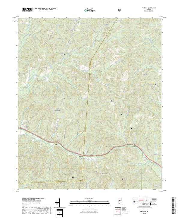
2024 Pearson
Bibb County, AL
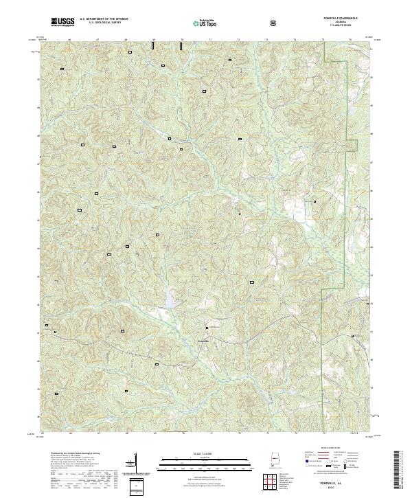
2024 Pondville
Bibb County, AL
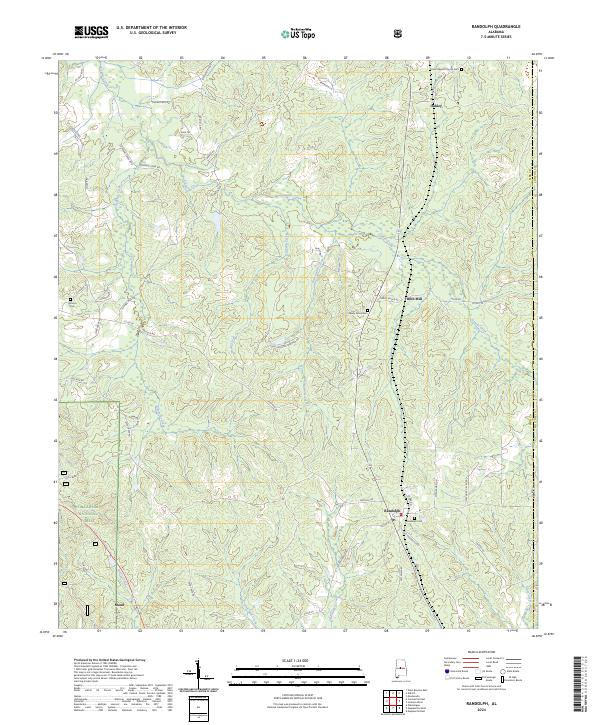
2024 Randolph
Bibb County, AL
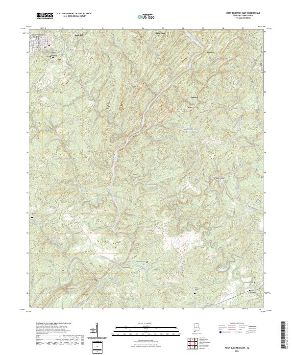
2024 West Blocton East
Bibb County, AL
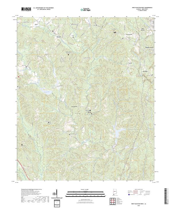
2024 West Blocton West
Bibb County, AL