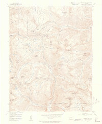
1955 Map of Handies Peak
USGS Topo · Published 1957About this map
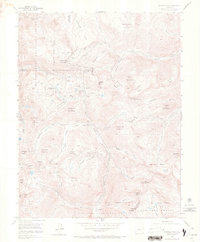
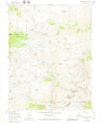
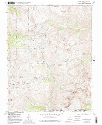
High mountain drainage systems define this 1955 survey of the San Juan Mountains, where the upper reaches of the Animas River meet the headwaters of the Uncompahgre River and Henson Creek. The landscape is a complex of deep-cut gulches and towering summits, including Handies Peak, Engineer Mountain, and Cinnamon Mountain. The pattern of human activity is strictly industrial, following the mineral veins that drew miners to these elevations.
Find a feature on this map
76 named features on this map. Tap any name to fly to it.
Don’t see what you’re looking for? This feature index may not catch every label — zoom into the map to look around manually.
Map Details
Editions of this 1955 Handies Peak Map
7 editions found
Other maps of this area

1897 · Silverton
USGS Topo · 1:62,500

1901 · Silverton
USGS Topo · 1:62,500

1902 · Silverton
USGS Topo · 1:62,500

1902 · Ouray
USGS Topo · 1:62,500

1903 · Lake City
USGS Topo · 1:62,500

1904 · Ouray
USGS Topo · 1:62,500

1905 · Lake City
USGS Topo · 1:62,500

1905 · San Cristobal
USGS Topo · 1:125,000

1907 · San Cristobal
USGS Topo · 1:125,000

1908 · Uncompahgre
USGS Topo · 1:125,000