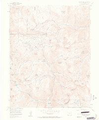
1955 Map of Handies Peak
USGS Topo · Published 1963About this map
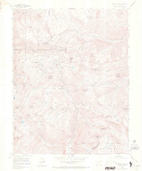
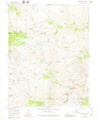
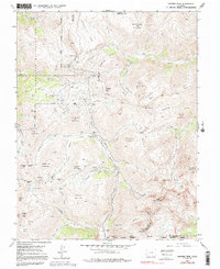
Animas Forks (Aband) and Eureka (Aband) represent the high-altitude mining heritage of the San Juan Mountains as they appeared in the mid-1950s. This survey of the Silverton district illustrates an intensive industrial landscape where mining operations like the Sunnyside Mine, Gold Prince Mine, and Silver Queen Mine are perched among steep drainage basins. The map traces the critical transportation routes through the high country, including the Pack Trail networks and high-elevation crossings at Cinnamon Pass and Denver Pass. Water management for extraction is evident in the numerous gulches and basins, from Poughkeepsie Gulch to American Basin, which feed the Animas River and Lake Fork Gunnison River. The intersection of Uncompahgre National Forest, San Juan National Forest, and Gunnison National Forest highlights the region's managed transition from active industrial extraction to protected wilderness surrounding landmarks like Handies Peak.
Find a feature on this map
84 named features on this map. Tap any name to fly to it.
Don’t see what you’re looking for? This feature index may not catch every label — zoom into the map to look around manually.
Map Details
Editions of this 1955 Handies Peak Map
7 editions found
Other maps of this area

1897 · Silverton
USGS Topo · 1:62,500

1901 · Silverton
USGS Topo · 1:62,500

1902 · Silverton
USGS Topo · 1:62,500

1902 · Ouray
USGS Topo · 1:62,500

1903 · Lake City
USGS Topo · 1:62,500

1904 · Ouray
USGS Topo · 1:62,500

1905 · Lake City
USGS Topo · 1:62,500

1905 · San Cristobal
USGS Topo · 1:125,000

1907 · San Cristobal
USGS Topo · 1:125,000

1908 · Uncompahgre
USGS Topo · 1:125,000