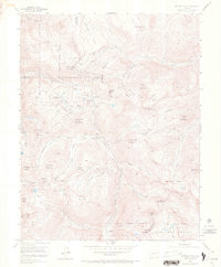
1955 Map of Handies Peak
USGS Topo · Published 1970About this map
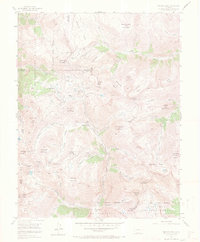
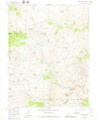
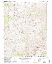
Animas Forks (Aband), Eureka (Aband), and Mineral Point (Aband) appear as silent remnants of a high-altitude mining boom on this 1955 survey of the San Juan Mountains. The landscape is a network of steep basins and high passes, where industrial ambition left behind works like the Sunnyside Mine, Gold Prince Mine, and Columbus Mine. These sites are linked by the headwaters of the Animas River and Henson Creek, with transportation routes like Engineer Pass and Cinnamon Pass crossing the Continental Divide between San Juan, Ouray, and Hinsdale counties.
Find a feature on this map
69 named features on this map. Tap any name to fly to it.
Don’t see what you’re looking for? This feature index may not catch every label — zoom into the map to look around manually.
Map Details
Editions of this 1955 Handies Peak Map
7 editions found
Other maps of this area

1897 · Silverton
USGS Topo · 1:62,500

1901 · Silverton
USGS Topo · 1:62,500

1902 · Silverton
USGS Topo · 1:62,500

1902 · Ouray
USGS Topo · 1:62,500

1903 · Lake City
USGS Topo · 1:62,500

1904 · Ouray
USGS Topo · 1:62,500

1905 · Lake City
USGS Topo · 1:62,500

1905 · San Cristobal
USGS Topo · 1:125,000

1907 · San Cristobal
USGS Topo · 1:125,000

1908 · Uncompahgre
USGS Topo · 1:125,000