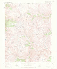
1955 Map of Handies Peak
USGS Topo · Published 1970About this map
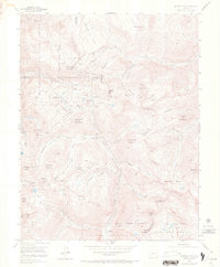
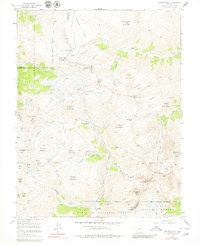
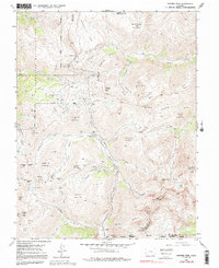
Animas Forks and Eureka sit at the center of this high-altitude mining district during the mid-1950s, where the headwaters of the Animas River cut through the intersection of the San Juan National Forest and Uncompahgre National Forest. The landscape is a network of steep gulches and high basins, punctuated by established mining operations like the Sunnyside Mine and Hough Mine. Notable for its difficult terrain, the map illustrates the critical mountain crossings of Engineer Pass and Cinnamon Pass, which served as vital connections between the camps and neighboring valleys. The survey also notes Mineral Point (Aband), reflecting the shifting fortunes of the silver and gold extraction era. Prominent peaks such as Handies Peak and Jones Mountain tower over the gulches, including California Gulch and Placer Gulch, where the density of named mining claims reveals the intense industrial activity that once defined this remote corner of Colorado.
Find a feature on this map
72 named features on this map. Tap any name to fly to it.
Don’t see what you’re looking for? This feature index may not catch every label — zoom into the map to look around manually.
Map Details
Editions of this 1955 Handies Peak Map
7 editions found
Other maps of this area

1897 · Silverton
USGS Topo · 1:62,500

1901 · Silverton
USGS Topo · 1:62,500

1902 · Silverton
USGS Topo · 1:62,500

1902 · Ouray
USGS Topo · 1:62,500

1903 · Lake City
USGS Topo · 1:62,500

1904 · Ouray
USGS Topo · 1:62,500

1905 · Lake City
USGS Topo · 1:62,500

1905 · San Cristobal
USGS Topo · 1:125,000

1907 · San Cristobal
USGS Topo · 1:125,000

1908 · Uncompahgre
USGS Topo · 1:125,000