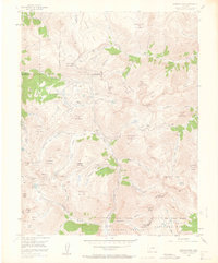
1955 Map of Handies Peak
USGS Topo · Published 1963About this map
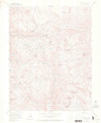
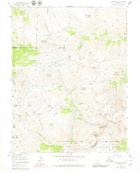
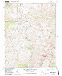
The high-altitude mining landscapes of the San Juan Mountains are meticulously documented in this mid-century survey, centered on the convergence of Ouray, San Juan, and Hinsdale counties. Remote settlements like Animas Forks and Eureka are shown alongside the intricate networks of tunnels and shafts that defined the region's economy. The topography is dominated by massive summits such as Handies Peak and Cinnamon Mountain, with drainage basins like American Basin and Poughkeepsie Gulch carving through the peaks.
Find a feature on this map
73 named features on this map. Tap any name to fly to it.
Don’t see what you’re looking for? This feature index may not catch every label — zoom into the map to look around manually.
Map Details
Editions of this 1955 Handies Peak Map
7 editions found
Other maps of this area

1897 · Silverton
USGS Topo · 1:62,500

1901 · Silverton
USGS Topo · 1:62,500

1902 · Silverton
USGS Topo · 1:62,500

1902 · Ouray
USGS Topo · 1:62,500

1903 · Lake City
USGS Topo · 1:62,500

1904 · Ouray
USGS Topo · 1:62,500

1905 · Lake City
USGS Topo · 1:62,500

1905 · San Cristobal
USGS Topo · 1:125,000

1907 · San Cristobal
USGS Topo · 1:125,000

1908 · Uncompahgre
USGS Topo · 1:125,000