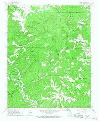
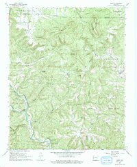
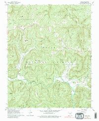
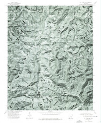
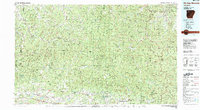
1967 Map of Hasty
USGS Topo · Published 1968This historical map portrays the area of Hasty in 1967, primarily covering Newton County as well as portions of Boone County. Featuring a scale of 1:24000, this map provides a highly detailed snapshot of the terrain, roads, buildings, counties, and historical landmarks in the Hasty region at the time. Published in 1968, it is one of 2 known editions of this map due to revisions or reprints.
Find a feature on this map
48 named features on this map. Tap any name to fly to it.
Don’t see what you’re looking for? This feature index may not catch every label — zoom into the map to look around manually.
Map Details
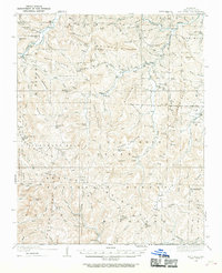
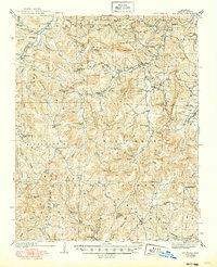
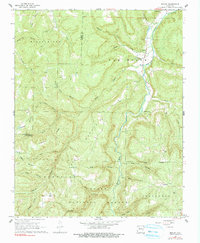
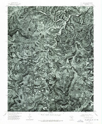
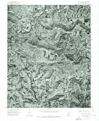
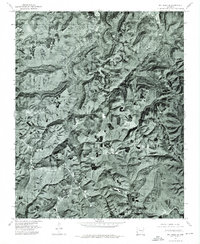
Editions of this 1967 Hasty Map
2 editions found
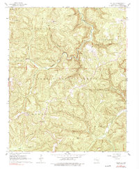
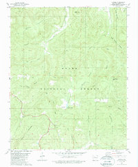
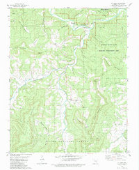
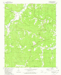
Historical Maps of Boone County Through Time
17 maps found
1933 Mt Judea
Newton County, AR
1940 Mt Judea
Newton County, AR
1967 Fallsville
Newton County, AR
1967 Hasty
Newton County, AR
1968 Boxley
Newton County, AR
1968 Murray
Newton County, AR
1968 Osage SW
Newton County, AR
1968 Swain
Newton County, AR
1974 Mt Judea NE
Newton County, AR
1974 Mt Judea NW
Newton County, AR
1974 Mt Judea SE
Newton County, AR
1974 Mt Judea SW
Newton County, AR

1980 Eula
Newton County, AR
1980 Lurton
Newton County, AR
1980 Mt Judea
Newton County, AR
1980 Parthenon
Newton County, AR
1983 Fly Gap Mountain
Newton County, AR