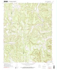
1968 Map of Osage SW
USGS Topo · Published 1991About this map
Logan Mountain and the headwaters of the Kings River define this corner of the Ozarks, captured as it appeared in the late 1960s. The landscape is characterized by a dense network of hollows, including Pickle Hollow, Lawson Hollow, and Smelley Hollow, which carve deep into the plateau and channel runoff into the larger river systems. Small social hubs like Dinsmore and Sloverville are mapped alongside rural landmarks like Liberty Ch and Elkhorn Ch, providing critical spatial data for those researching family history in this corner of Newton County. In the southeast, the terrain transitions toward the Buffalo River drainage, specifically within the boundaries of Lost Valley State Park. This survey reveals the traditional settlement patterns where life followed the orientation of Kenner Creek and Whitley Creek, showing how isolated homesteads and Hopewell Cem were positioned relative to the rugged topography.
Find a feature on this map
39 named features on this map. Tap any name to fly to it.
Don’t see what you’re looking for? This feature index may not catch every label — zoom into the map to look around manually.
Map Details
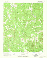
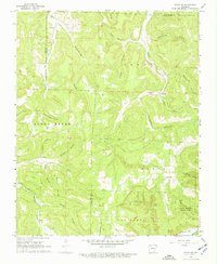
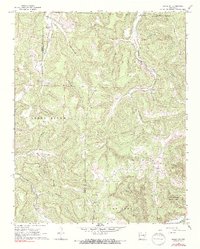
Editions of this 1968 Osage SW Map
4 editions found
Other maps of this area

1900 · Eureka Springs
USGS Topo · 1:125,000

1901 · Eureka Springs
USGS Topo · 1:125,000

1904 · Harrison
USGS Topo · 1:125,000

1905 · Harrison
USGS Topo · 1:125,000

1945 · Harrison
USGS Topo · 1:250,000

1949 · Harrison
USGS Topo · 1:250,000

1954 · Harrison
USGS Topo · 1:250,000

1956 · Russellville
USGS Topo · 1:250,000

1958 · Harrison
USGS Topo · 1:250,000

1964 · Russellville
USGS Topo · 1:250,000