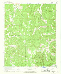
1968 Map of Osage SW
USGS Topo · Published 1969About this map
The Kings River and Buffalo River headwaters define this portion of the Ozark landscape in the late 1960s. The terrain is deeply incised by a network of hollows, including Hamstring Hollow, Pickle Hollow, and McCullough Hollow, which dictate the placement of small settlements and transit routes. Local activity centers on the community of George and the nearby Hopewell Cemetery, while Stoverville sits near the eastern edge of the survey. The mapping includes Lost Valley State Park along Clark Creek, illustrating the early preservation of these natural corridors. Small landmarks such as Elkhorn Church and Liberty Church provide essential reference points for genealogists tracking family roots in these rural townships. The drainage patterns of Osage Creek and Kenner Creek illustrate the historical isolation and specific development of these creek-bottom communities.
Find a feature on this map
40 named features on this map. Tap any name to fly to it.
Don’t see what you’re looking for? This feature index may not catch every label — zoom into the map to look around manually.
Map Details
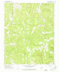
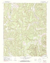
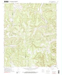
Editions of this 1968 Osage SW Map
4 editions found
Other maps of this area

1900 · Eureka Springs
USGS Topo · 1:125,000

1901 · Eureka Springs
USGS Topo · 1:125,000

1904 · Harrison
USGS Topo · 1:125,000

1905 · Harrison
USGS Topo · 1:125,000

1945 · Harrison
USGS Topo · 1:250,000

1949 · Harrison
USGS Topo · 1:250,000

1954 · Harrison
USGS Topo · 1:250,000

1956 · Russellville
USGS Topo · 1:250,000

1958 · Harrison
USGS Topo · 1:250,000

1964 · Russellville
USGS Topo · 1:250,000