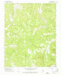
1968 Map of Osage SW
USGS Topo · Published 1970About this map
Lost Valley State Park defines the southeastern corner of this Ozark landscape, where the headwaters of Clark Creek carve through the limestone terrain of Newton County. The 1968 field-checked data reveals a region of deeply incised hollows and winding waterways, centered on the upper reaches of the Kings River and its major tributaries like Sweden Creek and Kenner Creek. Settlement is concentrated along the ridges and valley floors, notably at Dinsmore and Stoverville.
Find a feature on this map
36 named features on this map. Tap any name to fly to it.
Don’t see what you’re looking for? This feature index may not catch every label — zoom into the map to look around manually.
Map Details
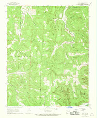
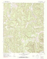
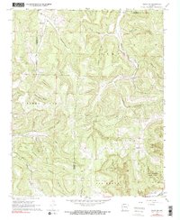
Editions of this 1968 Osage SW Map
4 editions found
Other maps of this area

1900 · Eureka Springs
USGS Topo · 1:125,000

1901 · Eureka Springs
USGS Topo · 1:125,000

1904 · Harrison
USGS Topo · 1:125,000

1905 · Harrison
USGS Topo · 1:125,000

1945 · Harrison
USGS Topo · 1:250,000

1949 · Harrison
USGS Topo · 1:250,000

1954 · Harrison
USGS Topo · 1:250,000

1956 · Russellville
USGS Topo · 1:250,000

1958 · Harrison
USGS Topo · 1:250,000

1964 · Russellville
USGS Topo · 1:250,000