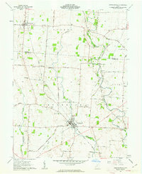
1961 Map of Jeffersonville
USGS Topo · Published 1963About this map
The agricultural landscape of Jefferson Township and Paint Township is defined by the intersection of rail and river in the early 1960s. Jeffersonville serves as the primary hub, where the Detroit Toledo and Ironton Railroad and the Pennsylvania Railroad once crossed paths, supporting local industry like the prominent Storage Bins near the tracks. The surrounding terrain is largely flat tillable land drained by Sugar Creek and Paint Creek, with occasional rises such as Dumpling Hill. Genealogy researchers will find significant value in the numerous small family burial grounds dotting the townships, including the Hogue-Allen Cem, Booco-Ryan Cem, and McKillip-Kirk Cem. Smaller outposts like South Solon and the cluster around Bookwalter Sch illustrate the decentralized community structure of rural Fayette and Madison counties during this era.
Find a feature on this map
42 named features on this map. Tap any name to fly to it.
Don’t see what you’re looking for? This feature index may not catch every label — zoom into the map to look around manually.
Map Details
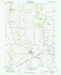
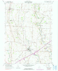
Editions of this 1961 Jeffersonville Map
Other maps of this area

1906 · Mt Sterling
USGS Topo · 1:62,500

1907 · London
USGS Topo · 1:62,500

1907 · South Charleston
USGS Topo · 1:62,500

1916 · Octa
USGS Topo · 1:62,500

1944 · Octa
USGS Topo · 1:62,500

1947 · Columbus
USGS Topo · 1:250,000

1961 · Columbus
USGS Topo · 1:250,000
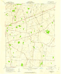
1961 · Florence
USGS Topo · 1:24,000
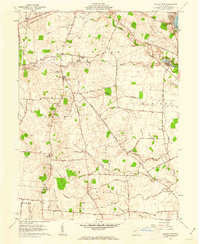
1961 · Walnut Run
USGS Topo · 1:24,000
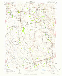
1961 · Milledgeville
USGS Topo · 1:24,000