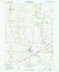
1961 Map of Jeffersonville
USGS Topo · Published 1976About this map
Jeffersonville serves as the central hub for this portion of the Virginia Military District, where the Detroit Toledo and Ironton Railroad corridor meets the emerging footprint of Interchange 69. The map details a transition in rural landscape, capturing the early 1960s agricultural character of the Madison Co Fayette Co border before 1970s updates recorded the arrival of the interstate.
Find a feature on this map
44 named features on this map. Tap any name to fly to it.
Don’t see what you’re looking for? This feature index may not catch every label — zoom into the map to look around manually.
Map Details
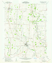
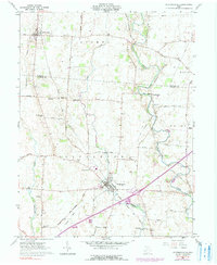
Editions of this 1961 Jeffersonville Map
Other maps of this area

1906 · Mt Sterling
USGS Topo · 1:62,500

1907 · London
USGS Topo · 1:62,500

1907 · South Charleston
USGS Topo · 1:62,500

1916 · Octa
USGS Topo · 1:62,500

1944 · Octa
USGS Topo · 1:62,500

1947 · Columbus
USGS Topo · 1:250,000

1961 · Columbus
USGS Topo · 1:250,000
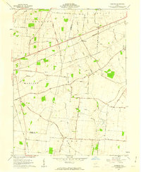
1961 · Florence
USGS Topo · 1:24,000
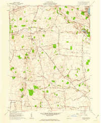
1961 · Walnut Run
USGS Topo · 1:24,000
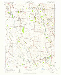
1961 · Milledgeville
USGS Topo · 1:24,000