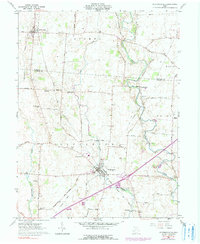
1961 Map of Jeffersonville
USGS Topo · Published 1990About this map
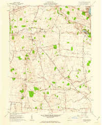
Jeffersonville sits at the heart of this agricultural landscape in Fayette County, serving as a hub for the surrounding rural townships. The 1961 data, updated with 1974 photo-revisions, reveals a transition in transportation as Interchange 69 emerges near the Detroit Toledo and Ironton railroad tracks. This junction of rail and modern interstate infrastructure highlights the shift from 19th-century transit to the automobile era. The map is particularly rich for genealogists, preserving the locations of numerous family-named burial grounds like the Hogue-Allen Cem and McKillip-Kirk Cem. Smaller settlements such as South Solon and Bookwalter, the latter featuring the Bookwalter Sch, are connected by a network of historic routes like Chillicothe Road and Federal Rd. Drainage is defined by the winding paths of Rattlesnake Creek, Sugar Creek, and Paint Creek, which carve through the territory within the Virginia Military District.
Find a feature on this map
57 named features on this map. Tap any name to fly to it.
Don’t see what you’re looking for? This feature index may not catch every label — zoom into the map to look around manually.
Map Details
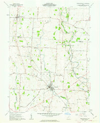
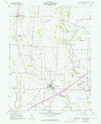
Editions of this 1961 Jeffersonville Map
Other maps of this area

1906 · Mt Sterling
USGS Topo · 1:62,500

1907 · London
USGS Topo · 1:62,500

1907 · South Charleston
USGS Topo · 1:62,500

1916 · Octa
USGS Topo · 1:62,500

1944 · Octa
USGS Topo · 1:62,500

1947 · Columbus
USGS Topo · 1:250,000

1961 · Columbus
USGS Topo · 1:250,000
1961 · Florence
USGS Topo · 1:24,000
1961 · Walnut Run
USGS Topo · 1:24,000
1961 · Milledgeville
USGS Topo · 1:24,000