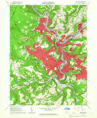
1964 Map of Johnstown
USGS Topo · Published 1966About this map
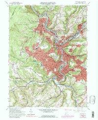
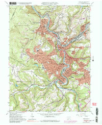
The Conemaugh River snakes through the industrial heart of Pennsylvania in the mid-1960s, framed by the steep slopes of Laurel Hill and the Conemaugh Gorge. The city of Johnstown is the focal point, surrounded by a dense network of hill-and-valley neighborhoods like Morrellville, Brownstown, and Ferndale. The landscape reveals a complex mid-century urban fabric, where massive institutions such as Memorial Hospital and Mercy Hospital sit alongside extensive rail yards of the Pennsylvania Railroad and Baltimore and Ohio Railroad. On the surrounding heights, the suburban expansion of Westmont and Southmont is clearly defined, while numerous parochial landmarks including St Nicholas Ch and St Michaels Sch reflect the community's deep ethnic and religious roots. The map also documents the area's ongoing industrial character, noted by the presence of a Strip Mine and the massive Black Dump overlooking the river valley.
Find a feature on this map
95 named features on this map. Tap any name to fly to it.
Don’t see what you’re looking for? This feature index may not catch every label — zoom into the map to look around manually.
Map Details
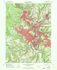
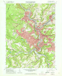
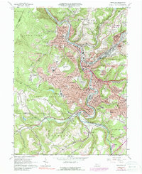
Editions of this 1964 Johnstown Map
6 editions found
Other maps of this area

1904 · Johnstown
USGS Topo · 1:62,500

1907 · Johnstown
USGS Topo · 1:62,500

1913 · Somerset
USGS Topo · 1:62,500

1914 · Windber
USGS Topo · 1:62,500

1915 · Somerset
USGS Topo · 1:62,500

1916 · Windber
USGS Topo · 1:62,500

1920 · New Florence
USGS Topo · 1:62,500

1921 · New Florence
USGS Topo · 1:48,000

1922 · New Florence
USGS Topo · 1:62,500

1944 · Somerset
USGS Topo · 1:62,500