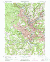
1964 Map of Johnstown
USGS Topo · Published 1988About this map
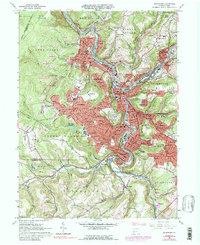
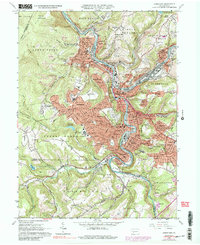
The industrial and social geography of Johnstown is defined by the deep river valleys of the Conemaugh River and Stony Creek. This 1960s-era landscape reveals the dense residential clusters of Cambria City, Minersville, and Morrellville tucked into the valley floors, while newer suburban developments like Westmont and Southmont occupy the higher plateaus. A standout feature of the local transit history is the Incline RR, connecting the lower city to the hilltop. The region's heavy industry and rail dependence are evident in the sprawling tracks of the Penn Central and Baltimore and Ohio railroads. Numerous ethnic and parish cemeteries, such as St Stephens Cem, St Marys Cem, and the expansive Grandview Cemetery, offer critical touchpoints for genealogists. The map also records the expansion of Johnstown College (Univ of Pittsburgh) and specialized facilities like the State Rehabilitation Center.
Find a feature on this map
140 named features on this map. Tap any name to fly to it.
Don’t see what you’re looking for? This feature index may not catch every label — zoom into the map to look around manually.
Map Details
Editions of this 1964 Johnstown Map
6 editions found
Other maps of this area

1904 · Johnstown
USGS Topo · 1:62,500

1907 · Johnstown
USGS Topo · 1:62,500

1913 · Somerset
USGS Topo · 1:62,500

1914 · Windber
USGS Topo · 1:62,500

1915 · Somerset
USGS Topo · 1:62,500

1916 · Windber
USGS Topo · 1:62,500

1920 · New Florence
USGS Topo · 1:62,500

1921 · New Florence
USGS Topo · 1:48,000

1922 · New Florence
USGS Topo · 1:62,500

1944 · Somerset
USGS Topo · 1:62,500