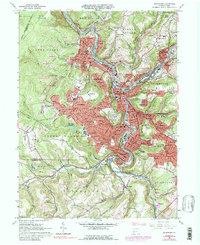
1964 Map of Johnstown
USGS Topo · Published 1988About this map
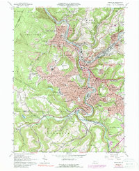
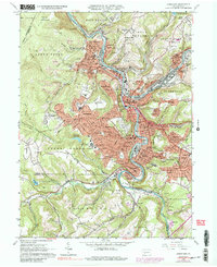
The Conemaugh River and Stony Creek converge in this mid-century Pennsylvania industrial hub, where dense urban development follows the valley floors before rising into the residential hills of Westmont and Southmont. This 1964 survey captures the city's complex rail infrastructure dominated by the Pennsylvania Central railroad, which weaves through settlements like Franklin, East Conemaugh, and Cambria City. The landscape is a study in post-war topography, balancing heavy industry and rail yards with extensive social institutions, including the expansive Grandview Cemetery and numerous parish anchors like St Marys Cem and St Nicholas Ch. Beyond the central core, the terrain transitions into the steep slopes of Laurel Hill and Coon Ridge, where active Strip Mines and reservoirs like Dalton Run Res illustrate the region's reliance on both mineral extraction and managed water resources.
Find a feature on this map
123 named features on this map. Tap any name to fly to it.
Don’t see what you’re looking for? This feature index may not catch every label — zoom into the map to look around manually.
Map Details
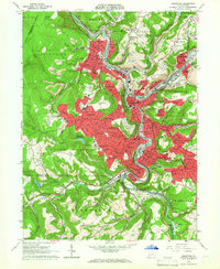
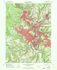
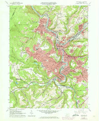
Editions of this 1964 Johnstown Map
6 editions found
Other maps of this area

1904 · Johnstown
USGS Topo · 1:62,500

1907 · Johnstown
USGS Topo · 1:62,500

1913 · Somerset
USGS Topo · 1:62,500

1914 · Windber
USGS Topo · 1:62,500

1915 · Somerset
USGS Topo · 1:62,500

1916 · Windber
USGS Topo · 1:62,500

1920 · New Florence
USGS Topo · 1:62,500

1921 · New Florence
USGS Topo · 1:48,000

1922 · New Florence
USGS Topo · 1:62,500

1944 · Somerset
USGS Topo · 1:62,500