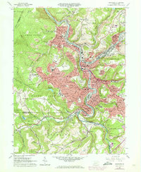
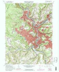
1964 Map of Johnstown
USGS Topo · Published 1973About this map
The Conemaugh River and its major tributaries, the Little Conemaugh River and Stony Creek, anchor this industrial landscape during a period of urban expansion. The dense valley floor of Johnstown and Cambria City transitions into burgeoning hillside suburbs like Westmont and Southmont, where the 1970s revisions highlight rapid residential growth. The era’s media and civic infrastructure is prominent, featuring Radio Tower (WJAC-TV) on Laurel Hill and the Memorial Auditorium downtown.
Find a feature on this map
139 named features on this map. Tap any name to fly to it.
Don’t see what you’re looking for? This feature index may not catch every label — zoom into the map to look around manually.
Map Details
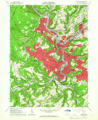
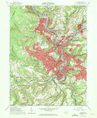
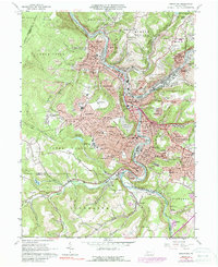
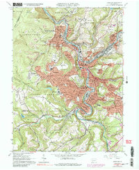
Editions of this 1964 Johnstown Map
6 editions found
Other maps of this area

1904 · Johnstown
USGS Topo · 1:62,500

1907 · Johnstown
USGS Topo · 1:62,500

1913 · Somerset
USGS Topo · 1:62,500

1914 · Windber
USGS Topo · 1:62,500

1915 · Somerset
USGS Topo · 1:62,500

1916 · Windber
USGS Topo · 1:62,500

1920 · New Florence
USGS Topo · 1:62,500

1921 · New Florence
USGS Topo · 1:48,000

1922 · New Florence
USGS Topo · 1:62,500

1944 · Somerset
USGS Topo · 1:62,500