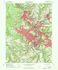
1964 Map of Johnstown
USGS Topo · Published 1971About this map
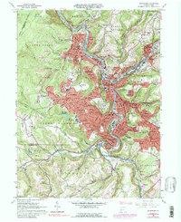
The Conemaugh River and Stony Creek converge in the heart of Johnstown, a city defined by its industrial river corridors and steep valley topography. In this mid-century survey, the urban footprint stretches across numerous distinct neighborhoods like Moxham, Kernville, and Morrellville, while the heights above the city are occupied by residential Westmont and Southmont. Significant institutional landmarks are visible, including the Johnstown College (University of Pittsburgh) and the State Rehabilitation Center. Local history is deeply etched into the landscape through its numerous religious and burial sites, from the sprawling Grandview Cemetery to neighborhood anchors like SS Peter and Paul Cem & Ch. The influence of heavy industry and transportation is evident in the extensive Conemaugh Tracks and Baltimore and Ohio rail lines that navigate the narrow river bends alongside coal-era infrastructure like a Claypit and various strip mines.
Find a feature on this map
141 named features on this map. Tap any name to fly to it.
Don’t see what you’re looking for? This feature index may not catch every label — zoom into the map to look around manually.
Map Details
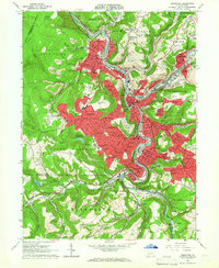
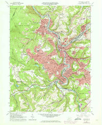
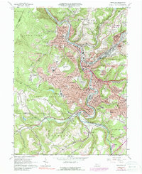
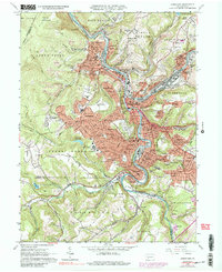
Editions of this 1964 Johnstown Map
6 editions found
Other maps of this area

1904 · Johnstown
USGS Topo · 1:62,500

1907 · Johnstown
USGS Topo · 1:62,500

1913 · Somerset
USGS Topo · 1:62,500

1914 · Windber
USGS Topo · 1:62,500

1915 · Somerset
USGS Topo · 1:62,500

1916 · Windber
USGS Topo · 1:62,500

1920 · New Florence
USGS Topo · 1:62,500

1921 · New Florence
USGS Topo · 1:48,000

1922 · New Florence
USGS Topo · 1:62,500

1944 · Somerset
USGS Topo · 1:62,500