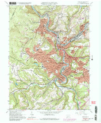
1964 Map of Johnstown
USGS Topo · Published 1988About this map
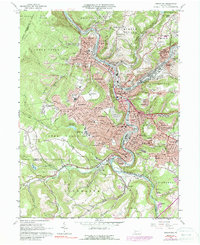
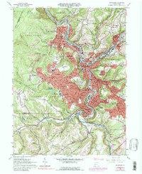
The confluence of the Conemaugh River, the Little Conemaugh River, and Stony Creek forms the industrial heart of Johnstown. This mid-century survey illustrates an urban landscape deeply integrated with its steep valley topography, where residential neighborhoods like Brownstown and Kernville cling to the hillsides above the river-bottom commerce. The transportation network is dominated by the Penn Central railroad corridors and state routes like Pennsylvania 56, which navigate the tight bends of the waterways.
Find a feature on this map
130 named features on this map. Tap any name to fly to it.
Don’t see what you’re looking for? This feature index may not catch every label — zoom into the map to look around manually.
Map Details
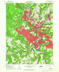
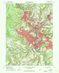
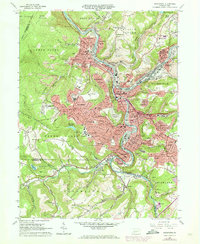
Editions of this 1964 Johnstown Map
6 editions found
Other maps of this area

1904 · Johnstown
USGS Topo · 1:62,500

1907 · Johnstown
USGS Topo · 1:62,500

1913 · Somerset
USGS Topo · 1:62,500

1914 · Windber
USGS Topo · 1:62,500

1915 · Somerset
USGS Topo · 1:62,500

1916 · Windber
USGS Topo · 1:62,500

1920 · New Florence
USGS Topo · 1:62,500

1921 · New Florence
USGS Topo · 1:48,000

1922 · New Florence
USGS Topo · 1:62,500

1944 · Somerset
USGS Topo · 1:62,500