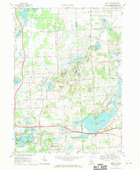
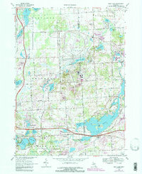
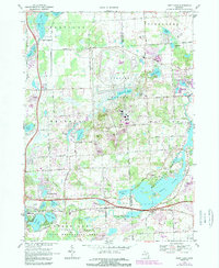
1968 Map of Kent Lake
USGS Topo · Published 1970About this map
Glacial lakes and rolling terrain dominate this landscape along the Livingston Co and Oakland Co border during the late 1960s. The southeastern portion of the map is defined by the significant footprint of Kensington Metropolitan Park and Island Lake State Recreation Area, showcasing the post-war emphasis on public recreational land use. The Huron River system feeds into the expansive Kent Lake, which features numerous picnic areas and boat-accessible points.
Find a feature on this map
62 named features on this map. Tap any name to fly to it.
Don’t see what you’re looking for? This feature index may not catch every label — zoom into the map to look around manually.
Map Details
Editions of this 1968 Kent Lake Map
6 editions found
Other maps of this area

1902 · South Lyon
USGS Topo · 1:62,500

1902 · Dexter
USGS Topo · 1:62,500

1904 · Ann Arbor
USGS Topo · 1:125,000

1906 · Dexter
USGS Topo · 1:62,500

1906 · South Lyon
USGS Topo · 1:62,500

1907 · Howell
USGS Topo · 1:62,500

1908 · Ann Arbor
USGS Topo · 1:125,000

1909 · Howell
USGS Topo · 1:62,500

1909 · Milford
USGS Topo · 1:62,500

1936 · Wixom
USGS Topo · 1:31,680
Featured Places
- Lyon Charter Township, MI
- Green Oak Charter Township, MI
- Highland Charter Township, MI
- Brighton Charter Township, MI
- Milford Charter Township, MI