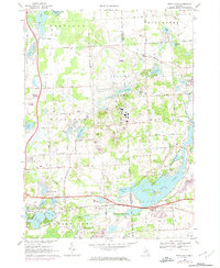
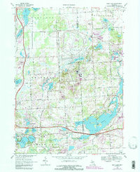
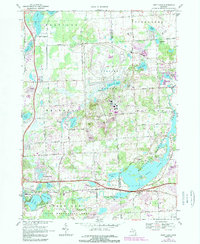
1968 Map of Kent Lake
USGS Topo · Published 1974About this map
The Huron River corridor and its expansive wetlands define this landscape during a period of significant recreational and industrial development. The sprawling Proving Ground occupies a central position on the sheet, while the southern reaches are dominated by the waters of Kent Lake and the Island Lake State Recreation Area. This era shows a transition toward organized outdoor spaces, with Kensington Metropolitan Park and numerous lakeside camps such as Lakeside Camp dotting the glacial topography.
Find a feature on this map
73 named features on this map. Tap any name to fly to it.
Don’t see what you’re looking for? This feature index may not catch every label — zoom into the map to look around manually.
Map Details
Editions of this 1968 Kent Lake Map
6 editions found
Other maps of this area

1902 · South Lyon
USGS Topo · 1:62,500

1902 · Dexter
USGS Topo · 1:62,500

1904 · Ann Arbor
USGS Topo · 1:125,000

1906 · Dexter
USGS Topo · 1:62,500

1906 · South Lyon
USGS Topo · 1:62,500

1907 · Howell
USGS Topo · 1:62,500

1908 · Ann Arbor
USGS Topo · 1:125,000

1909 · Howell
USGS Topo · 1:62,500

1909 · Milford
USGS Topo · 1:62,500

1936 · Wixom
USGS Topo · 1:31,680
Featured Places
- Lyon Charter Township, MI
- Green Oak Charter Township, MI
- Highland Charter Township, MI
- Brighton Charter Township, MI
- Milford Charter Township, MI