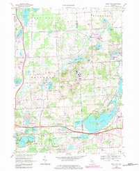
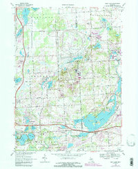
1968 Map of Kent Lake
USGS Topo · Published 1984About this map
The Huron River corridor and its surrounding glacial lake landscape are the primary focus of this late-1960s survey along the Livingston and Oakland County line. Much of the terrain is dedicated to large-scale public and industrial use, most notably the sprawling General Motors Proving Ground and the recreational expanse of Kensington Metropolitan Park. These institutional land holdings have preserved the natural contours of water bodies like Kent Lake and Wildwing Lake from residential subdivision.
Find a feature on this map
66 named features on this map. Tap any name to fly to it.
Don’t see what you’re looking for? This feature index may not catch every label — zoom into the map to look around manually.
Map Details
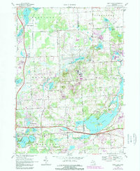
Editions of this 1968 Kent Lake Map
6 editions found
Other maps of this area

1902 · South Lyon
USGS Topo · 1:62,500

1902 · Dexter
USGS Topo · 1:62,500

1904 · Ann Arbor
USGS Topo · 1:125,000

1906 · Dexter
USGS Topo · 1:62,500

1906 · South Lyon
USGS Topo · 1:62,500

1907 · Howell
USGS Topo · 1:62,500

1908 · Ann Arbor
USGS Topo · 1:125,000

1909 · Howell
USGS Topo · 1:62,500

1909 · Milford
USGS Topo · 1:62,500

1936 · Wixom
USGS Topo · 1:31,680
Featured Places
- Lyon Charter Township, MI
- Green Oak Charter Township, MI
- Highland Charter Township, MI
- Brighton Charter Township, MI
- Milford Charter Township, MI