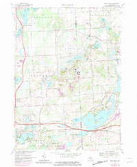
1968 Map of Kent Lake
USGS Topo · Published 1982About this map
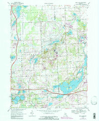
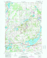
The boundary between Livingston Co and Oakland Co defines this landscape of glacial lakes and extensive public recreation lands. In the late 1960s, the area is characterized by the massive Proving Ground complex and the development of major regional parks. To the south, the Huron River feeds into Kent Lake within the Kensington Metropolitan Park, showing a sophisticated network of Picnic Areas, a Golf Course, and Park Headquarters. This period captures the rural-to-suburban transition of southeast Michigan, with family landmarks like Brighton Cem and the Townhall standing alongside growing infrastructure like the Chesapeake and Ohio railroad. North of the The Bluffs, the map details numerous smaller water bodies such as Sears Lake and Honeywell Lake, which supported early seasonal developments like Lakeside Camp.
Find a feature on this map
69 named features on this map. Tap any name to fly to it.
Don’t see what you’re looking for? This feature index may not catch every label — zoom into the map to look around manually.
Map Details
Editions of this 1968 Kent Lake Map
6 editions found
Other maps of this area

1902 · South Lyon
USGS Topo · 1:62,500

1902 · Dexter
USGS Topo · 1:62,500

1904 · Ann Arbor
USGS Topo · 1:125,000

1906 · Dexter
USGS Topo · 1:62,500

1906 · South Lyon
USGS Topo · 1:62,500

1907 · Howell
USGS Topo · 1:62,500

1908 · Ann Arbor
USGS Topo · 1:125,000

1909 · Howell
USGS Topo · 1:62,500

1909 · Milford
USGS Topo · 1:62,500

1936 · Wixom
USGS Topo · 1:31,680
Featured Places
- Lyon Charter Township, MI
- Green Oak Charter Township, MI
- Highland Charter Township, MI
- Brighton Charter Township, MI
- Milford Charter Township, MI