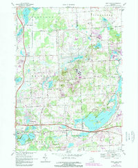
1968 Map of Kent Lake
USGS Topo · Published 1989About this map
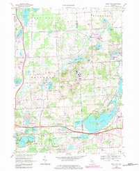
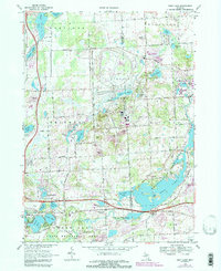
The Proving Ground and its expansive testing tracks dominate the center of this landscape, illustrating the automotive industry's spatial influence on the Livingston and Oakland County border. To the east and south, the Huron River corridor anchors a chain of major public spaces, including the massive Kensington Metropolitan Park and the Island Lake State Recreation Area. These parks surround the sprawling waters of Kent Lake, which features several developed picnic areas and boat launches that reflect the region's mid-century recreational growth. Evidence of earlier settlement is found at the Brighton Cem and the local Townhall, while the Chesapeake and Ohio railroad cuts across the southern portion of the quadrangle. The map also documents localized developments such as Lakeside Camp and Camp Dearborn Park, showing how the area balanced heavy industrial testing with private and municipal leisure retreats.
Find a feature on this map
60 named features on this map. Tap any name to fly to it.
Don’t see what you’re looking for? This feature index may not catch every label — zoom into the map to look around manually.
Map Details
Editions of this 1968 Kent Lake Map
6 editions found
Other maps of this area

1902 · South Lyon
USGS Topo · 1:62,500

1902 · Dexter
USGS Topo · 1:62,500

1904 · Ann Arbor
USGS Topo · 1:125,000

1906 · Dexter
USGS Topo · 1:62,500

1906 · South Lyon
USGS Topo · 1:62,500

1907 · Howell
USGS Topo · 1:62,500

1908 · Ann Arbor
USGS Topo · 1:125,000

1909 · Howell
USGS Topo · 1:62,500

1909 · Milford
USGS Topo · 1:62,500

1936 · Wixom
USGS Topo · 1:31,680
Featured Places
- Lyon Charter Township, MI
- Green Oak Charter Township, MI
- Highland Charter Township, MI
- Brighton Charter Township, MI
- Milford Charter Township, MI