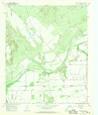
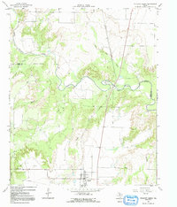
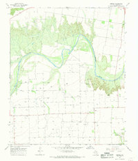
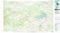
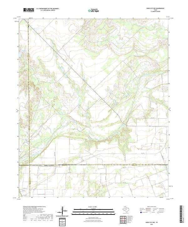
1967 Map of Knox City NW
USGS Topo · Published 1970This historical map portrays the area of Knox City NW in 1967, primarily covering Knox County as well as portions of Stonewall County, King County, and Haskell County. Featuring a scale of 1:24000, this map provides a highly detailed snapshot of the terrain, roads, buildings, counties, and historical landmarks in the Knox City NW region at the time. Published in 1970, it is the sole known edition of this map.
Find a feature on this map
18 named features on this map. Tap any name to fly to it.
Don’t see what you’re looking for? This feature index may not catch every label — zoom into the map to look around manually.
Map Details
Editions of this 1967 Knox City NW Map
This is the sole edition of this map. No revisions or reprints were ever made.
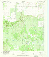
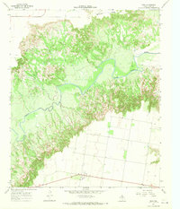
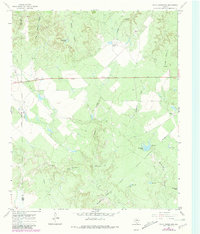
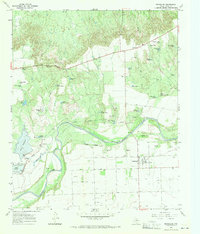
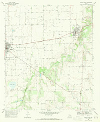
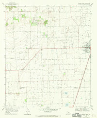
Historical Maps of Stonewall County Through Time
25 maps found
1966 Big Four Ranch
Knox County, TX
1966 Gilliland
Knox County, TX
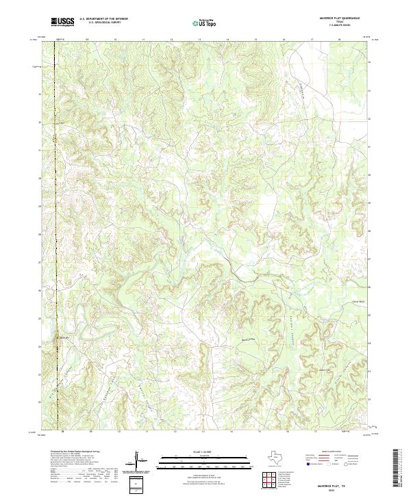
1966 Maverick Flat
Knox County, TX
1966 Truscott North
Knox County, TX
1966 Truscott South
Knox County, TX
1966 Vera
Knox County, TX
1967 Cedar Mountain
Knox County, TX
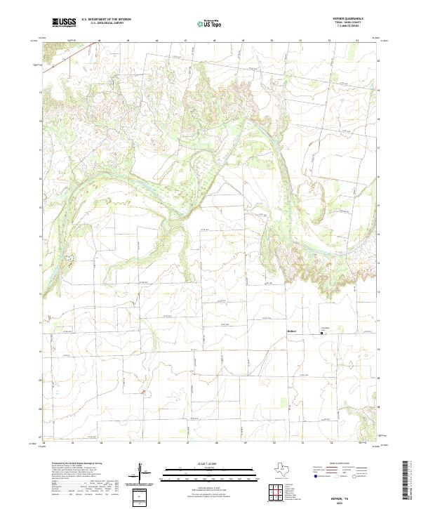
1967 Hefner
Knox County, TX
1967 Knox City NW
Knox County, TX
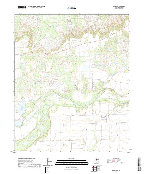
1967 Rhineland
Knox County, TX
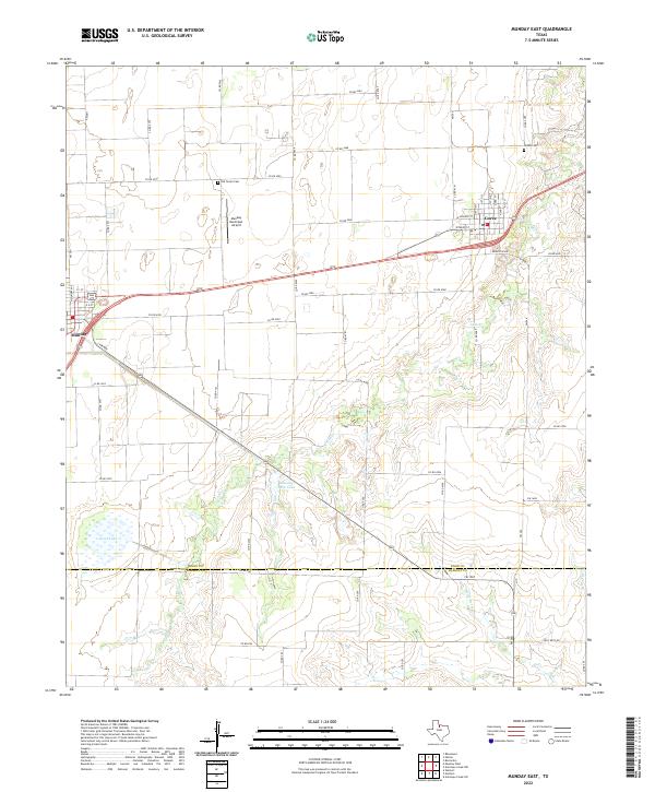
1968 Munday East
Knox County, TX
1968 Munday West
Knox County, TX
1985 Lake Kemp
Knox County, TX
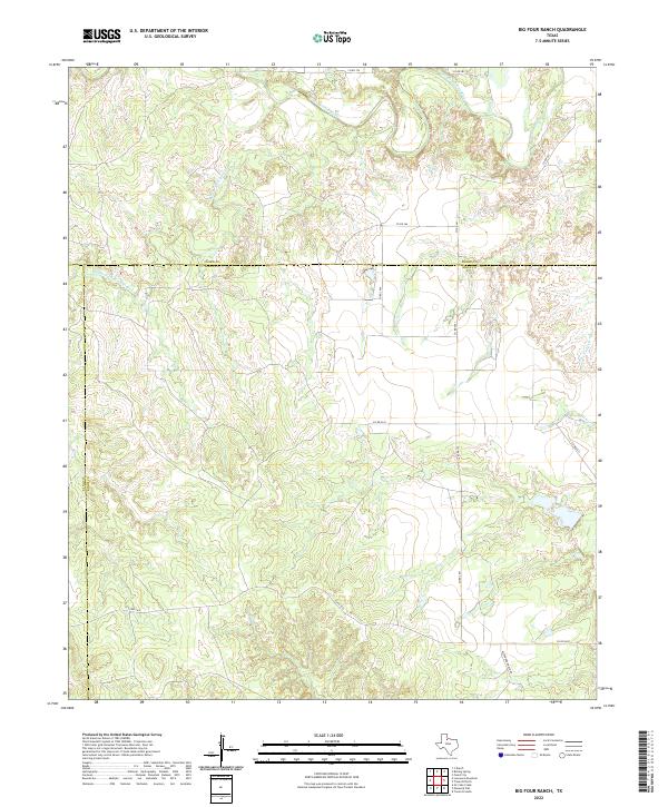
2022 Big Four Ranch
Knox County, TX
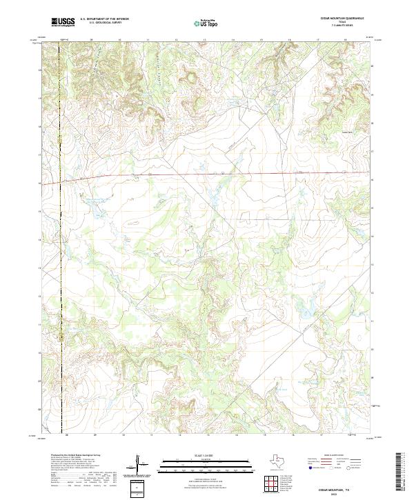
2022 Cedar Mountain
Knox County, TX
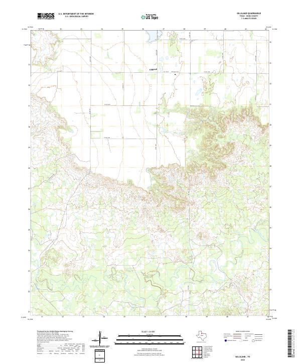
2022 Gilliland
Knox County, TX
2022 Hefner
Knox County, TX
2022 Knox City NW
Knox County, TX
2022 Maverick Flat
Knox County, TX
2022 Munday East
Knox County, TX

2022 Munday West
Knox County, TX
2022 Rhineland
Knox County, TX
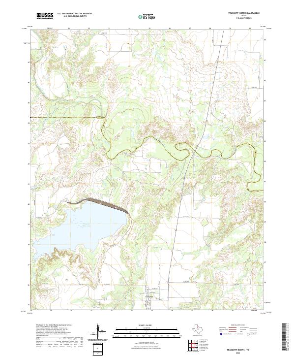
2022 Truscott North
Knox County, TX
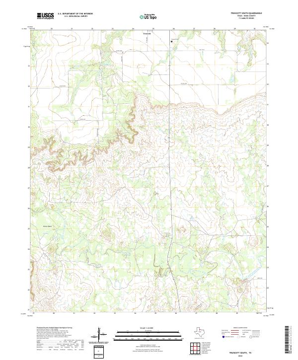
2022 Truscott South
Knox County, TX
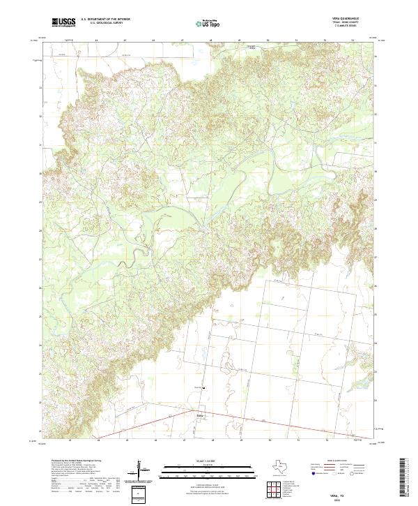
2022 Vera
Knox County, TX