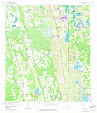
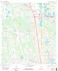
1959 Map of Lake Louisa SW
USGS Topo · Published 1972About this map
The vast Green Swamp dominates this landscape where Lake, Polk, Orange, and Osceola counties converge. A complex network of freshwater bodies, including Lake Davenport and the expansive Davenport Creek Swamp, reveals the hydrologic character of central Florida before major suburban expansion. While much of the terrain is defined by wetlands and lakes like Crooked Lake and Hancock Lake, the map documents human influence through the presence of an Old Tram Road and a utility Pipeline. Isolated high ground such as Oak Island and Fishers Island stand out within the swampy environment. Evidence of late-century development appears in 1970 revisions, particularly a significant area marked as Under Construction near Raccoon Lake, signaling the transition of this rural wetland towards more intensive land use.
Find a feature on this map
28 named features on this map. Tap any name to fly to it.
Don’t see what you’re looking for? This feature index may not catch every label — zoom into the map to look around manually.
Map Details
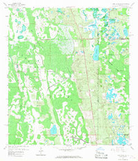
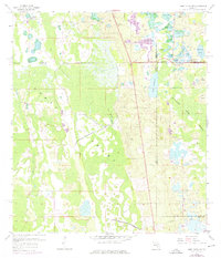
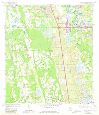
Editions of this 1959 Lake Louisa SW Map
7 editions found


Other maps of this area

1944 · Polk City
USGS Topo · 1:31,680

1953 · Windermere
USGS Topo · 1:24,000

1953 · Intercession City
USGS Topo · 1:24,000

1953 · Davenport
USGS Topo · 1:24,000

1955 · Orlando
USGS Topo · 1:250,000

1957 · Orlando
USGS Topo · 1:250,000

1958 · Orlando
USGS Topo · 1:250,000

1959 · Gum Lake
USGS Topo · 1:24,000

1959 · Lake Nellie
USGS Topo · 1:24,000

1959 · Lake Louisa
USGS Topo · 1:24,000