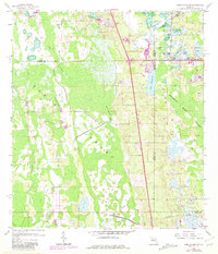
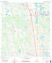
1959 Map of Lake Louisa SW
USGS Topo · Published 1981About this map
The hydrological complexity of Central Florida is on full display where the borders of Lake, Polk, Orange, and Osceola counties converge. This environment is dominated by the Green Swamp, a critical wetland system that feeds numerous water bodies and drainage basins. Significant natural features include the winding path of Big Creek and Turkey Creek, which snake through the western half of the map, and Green Swamp Run, illustrating the slow-moving sheet flow characteristic of the region before modern drainage alterations.
Find a feature on this map
35 named features on this map. Tap any name to fly to it.
Don’t see what you’re looking for? This feature index may not catch every label — zoom into the map to look around manually.
Map Details
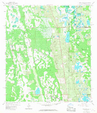
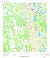
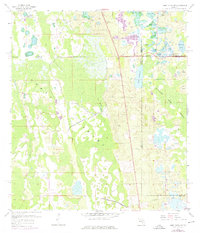
Editions of this 1959 Lake Louisa SW Map
7 editions found


Other maps of this area

1944 · Polk City
USGS Topo · 1:31,680

1953 · Windermere
USGS Topo · 1:24,000

1953 · Intercession City
USGS Topo · 1:24,000

1953 · Davenport
USGS Topo · 1:24,000

1955 · Orlando
USGS Topo · 1:250,000

1957 · Orlando
USGS Topo · 1:250,000

1958 · Orlando
USGS Topo · 1:250,000

1959 · Gum Lake
USGS Topo · 1:24,000

1959 · Lake Nellie
USGS Topo · 1:24,000

1959 · Lake Louisa
USGS Topo · 1:24,000