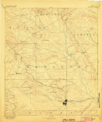
1894 Map of Lampasas
USGS Topo · Published 1904About this map
Lampasas serves as the focal point of this Central Texas landscape, situated at the confluence of several vital watercourses including Sulphur Creek and Burleson Creek. The settlement pattern reflects the late nineteenth-century importance of water and rail, with the Gulf Colorado and Santa Fe Railroad cutting diagonally through the southern territory to reach the county seat. This line provided the primary engine for local growth, while earlier established points like Townsen Mills on the Lampasas River remained anchored to milling and agricultural commerce.
Find a feature on this map
49 named features on this map. Tap any name to fly to it.
Don’t see what you’re looking for? This feature index may not catch every label — zoom into the map to look around manually.
Map Details
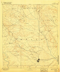
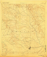
Editions of this 1894 Lampasas Map
4 editions found

Other maps of this area

1885 · San Saba
USGS Topo · 1:125,000

1887 · Llano
USGS Topo · 1:125,000

1887 · Lampasas
USGS Topo · 1:125,000

1887 · Burnet
USGS Topo · 1:125,000

1888 · Hamilton
USGS Topo · 1:125,000

1888 · Meridian
USGS Topo · 1:125,000

1889 · Brownwood
USGS Topo · 1:125,000

1893 · Georgetown
USGS Topo · 1:125,000

1893 · Burnet
USGS Topo · 1:125,000

1894 · Hamilton
USGS Topo · 1:125,000