
1894 Map of Lampasas
USGS Topo · Published 1894About this map
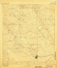
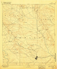
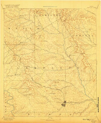
Lampasas serves as the primary hub of this Central Texas landscape, captured shortly after the Gulf Colorado and Santa Fe Railroad reshaped the region's transport patterns. The map highlights the transition of settlement as rail lines bypassed older inland hubs like Senterfitt in favor of newer rail stops like Montvale. The terrain is defined by a series of prominent limestone landmarks, including Kinchelo Peak, Castle Peak, and Potters Peak, which guide the eye through the basins of the Lampasas River and Colorado River. The distribution of early industry is evident at Townsen Mills, while small communities such as Centre City, Evant, and the aptly named Wayback illustrate the dispersed rural settlement of the late nineteenth century. Natural travel corridors are clearly marked through numerous gaps in the hills, including Paynes Gap and Antelope Gap.
Find a feature on this map
51 named features on this map. Tap any name to fly to it.
Don’t see what you’re looking for? This feature index may not catch every label — zoom into the map to look around manually.
Map Details
Editions of this 1894 Lampasas Map
4 editions found
Other maps of this area

1885 · San Saba
USGS Topo · 1:125,000

1887 · Llano
USGS Topo · 1:125,000

1887 · Lampasas
USGS Topo · 1:125,000

1887 · Burnet
USGS Topo · 1:125,000

1888 · Hamilton
USGS Topo · 1:125,000

1888 · Meridian
USGS Topo · 1:125,000

1889 · Brownwood
USGS Topo · 1:125,000

1893 · Georgetown
USGS Topo · 1:125,000

1893 · Burnet
USGS Topo · 1:125,000

1894 · Hamilton
USGS Topo · 1:125,000