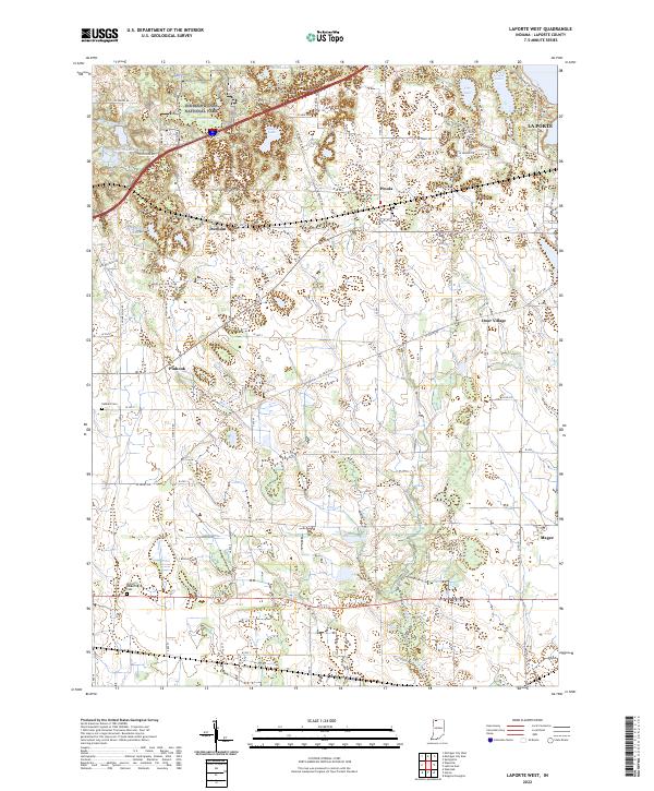
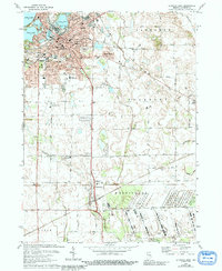
2022 Map of LaPorte West
USGS Topo · Published 2022About this map
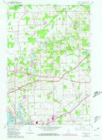
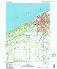
Pinhook Bog and the southernmost reaches of Indiana Dunes National Park anchor the northwest corner of this LaPorte County landscape. The terrain is defined by a dense cluster of glacial kettle lakes and wetlands, including Hildebrand Lake, Swede Lake, and Walton Lake, which feed the southward-flowing Mill Creek. This drainage network influenced the placement of early settlements and rural crossroads that persist today.
Find a feature on this map
44 named features on this map. Tap any name to fly to it.
Don’t see what you’re looking for? This feature index may not catch every label — zoom into the map to look around manually.
Map Details
Editions of this 2022 LaPorte West Map
This is the sole edition of this map. No revisions or reprints were ever made.
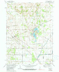
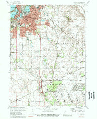
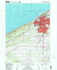
Historical Maps of Magee Through Time
22 maps found
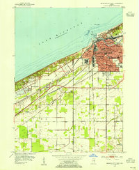
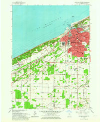
1953 Michigan City West
LaPorte County, IN
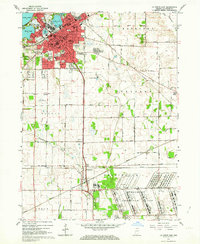
1958 La Porte East
LaPorte County, IN
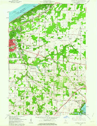
1958 Michigan City East
LaPorte County, IN
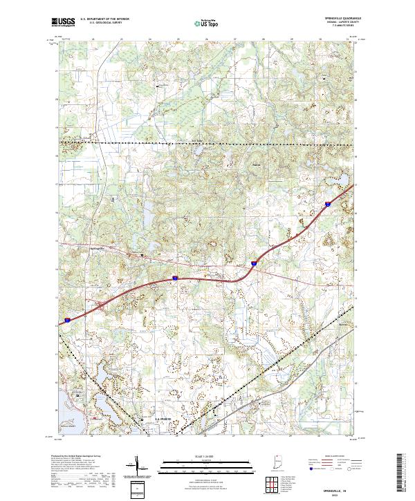
1958 Springville
LaPorte County, IN
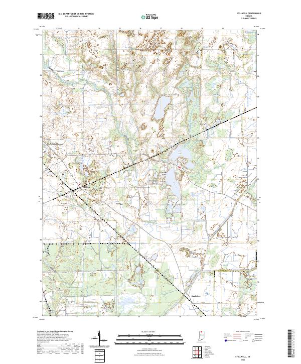
1958 Stillwell
LaPorte County, IN
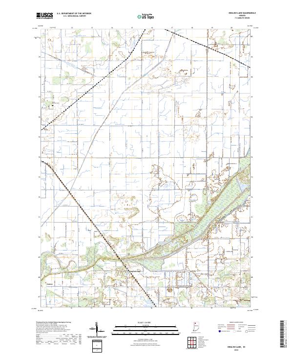
1959 English Lake
LaPorte County, IN
1961 La Porte West
LaPorte County, IN
1962 Michigan City West
LaPorte County, IN
1969 La Porte West
LaPorte County, IN
1969 Michigan City East
LaPorte County, IN
1969 Michigan City West
LaPorte County, IN
1974 La Porte East
LaPorte County, IN
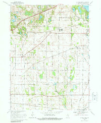
1974 Stillwell
LaPorte County, IN
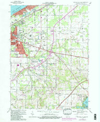
1977 La Porte East
LaPorte County, IN
1994 Michigan City West
LaPorte County, IN
2022 English Lake
LaPorte County, IN
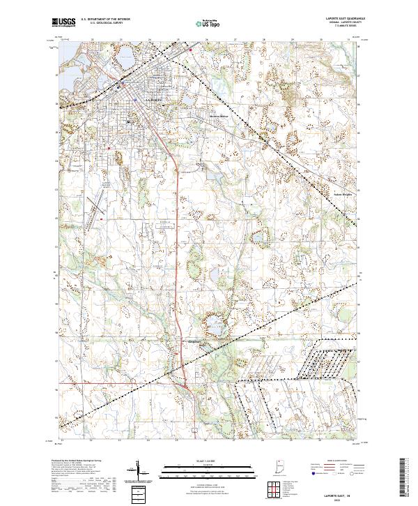
2022 LaPorte East
LaPorte County, IN
2022 LaPorte West
LaPorte County, IN
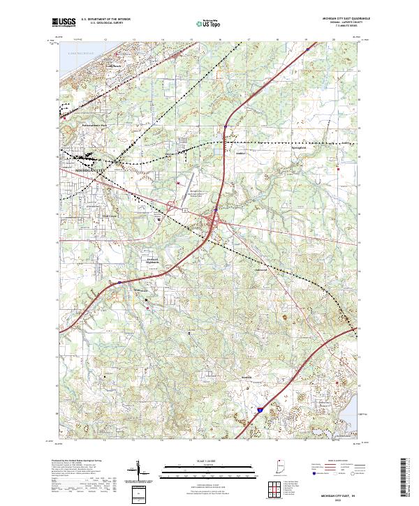
2022 Michigan City East
LaPorte County, IN
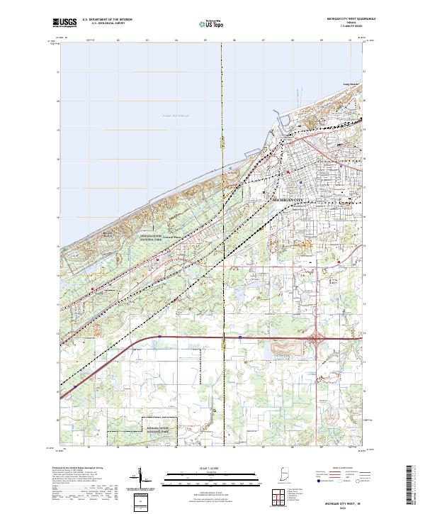
2022 Michigan City West
LaPorte County, IN
2022 Springville
LaPorte County, IN
2022 Stillwell
LaPorte County, IN