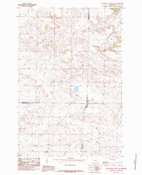
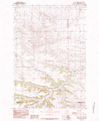
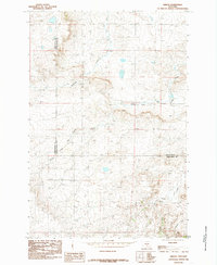
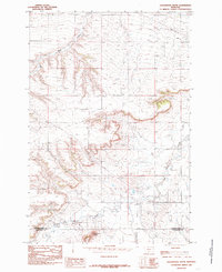
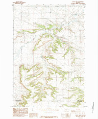
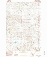
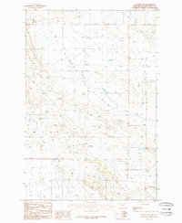
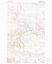
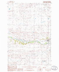
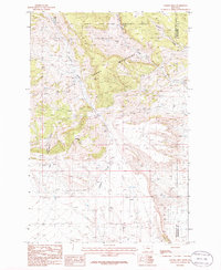
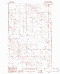
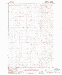
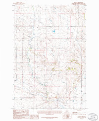
1985 Map of Locomotive Butte SW
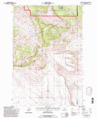
USGS Topo · Published 1985This historical map portrays the area of Locomotive Butte SW in 1985, primarily covering Golden Valley County as well as portions of Stillwater County and Sweet Grass County. Featuring a scale of 1:24000, this map provides a highly detailed snapshot of the terrain, roads, buildings, counties, and historical landmarks in the Locomotive Butte SW region at the time. Published in 1985, it is the sole known edition of this map.
Find a feature on this map
11 named features on this map. Tap any name to fly to it.
Don’t see what you’re looking for? This feature index may not catch every label — zoom into the map to look around manually.
Map Details
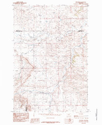
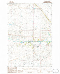
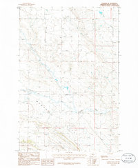
Editions of this 1985 Locomotive Butte SW Map
This is the sole edition of this map. No revisions or reprints were ever made.
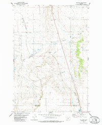
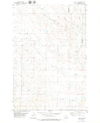
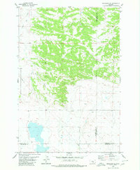
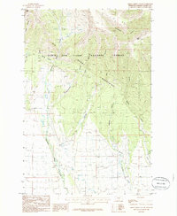
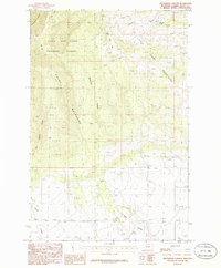
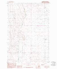
Historical Maps of Golden Valley County Through Time
25 maps found
1979 Belmont
Golden Valley County, MT
1979 Lavina NW
Golden Valley County, MT
1980 Broadview NE
Golden Valley County, MT
1985 Eagle Point
Golden Valley County, MT
1985 Gibson
Golden Valley County, MT
1985 Locomotive Butte
Golden Valley County, MT
1985 Locomotive Butte SW
Golden Valley County, MT
1985 Mount Sinai
Golden Valley County, MT
1985 O'Brien Hill
Golden Valley County, MT
1985 Progress
Golden Valley County, MT
1986 Cushman
Golden Valley County, MT
1986 Cushman NE
Golden Valley County, MT
1986 Cushman NW
Golden Valley County, MT
1986 Green Ashley Gulch
Golden Valley County, MT
1986 Patterson Canyon
Golden Valley County, MT
1986 Rothiemay
Golden Valley County, MT
1986 Ryegate East
Golden Valley County, MT
1986 Ryegate West
Golden Valley County, MT
1986 Sahara Hill
Golden Valley County, MT
1986 Sahara Hill SE
Golden Valley County, MT
1986 Sahara Hill SW
Golden Valley County, MT
1986 Wallum
Golden Valley County, MT
1995 Green Ashley Gulch
Golden Valley County, MT
1995 Patterson Canyon
Golden Valley County, MT
1995 Sahara Hill
Golden Valley County, MT