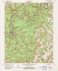
1922 Map of Mammoth Cave
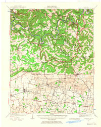
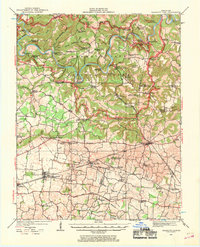
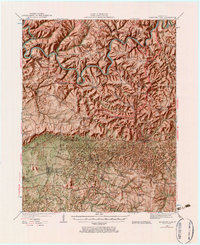
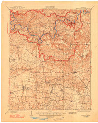
USGS Topo · Published 1957This historical map portrays the area of Mammoth Cave in 1922, primarily covering Edmonson County as well as portions of Barren County, Warren County, and Hart County. Featuring a scale of 1:62500, this map provides a highly detailed snapshot of the terrain, roads, buildings, counties, and historical landmarks in the Mammoth Cave region at the time. Published in 1957, it is one of 7 known editions of this map due to revisions or reprints.
Find a feature on this map
90 named features on this map. Tap any name to fly to it.
Don’t see what you’re looking for? This feature index may not catch every label — zoom into the map to look around manually.
Map Details
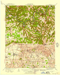
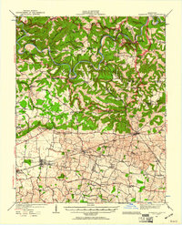
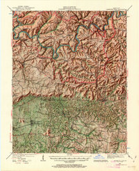
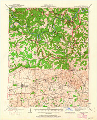
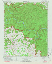
Editions of this 1922 Mammoth Cave Map
7 editions found
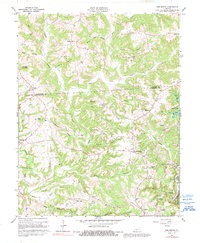
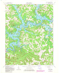
Historical Maps of Rhoda Through Time
10 maps found
1922 Mammoth Cave
Edmonson County, KY
1923 Mammoth Cave
Edmonson County, KY
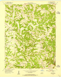
1953 Bee Spring
Edmonson County, KY
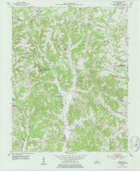
1953 Ready
Edmonson County, KY
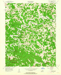
1954 Dickeys Mills
Edmonson County, KY
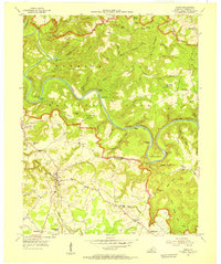
1954 Rhoda
Edmonson County, KY
1965 Mammoth Cave
Edmonson County, KY
1965 Rhoda
Edmonson County, KY
1966 Bee Spring
Edmonson County, KY
1966 Nolin Lake
Edmonson County, KY