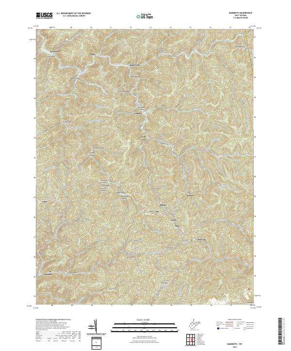
2023 Map of Mammoth
USGS Topo · Published 2023About this map
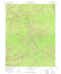
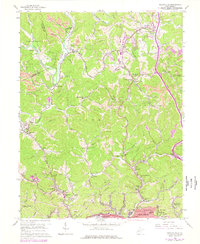
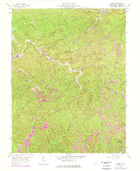
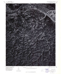
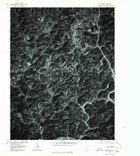
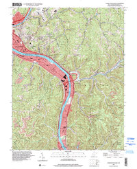
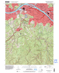
Mammoth and the surrounding coal-country settlements of eastern Kanawha County are defined by a complex network of hollows and ridges where the Blue Creek and Kellys Creek systems drain the Appalachian landscape. The map illustrates a high density of named hollows that speak to local family history and geographic identifiers, including Belcher Hollow, McBride Hollow, and James Hollow. Along the southern edge, the settlement of Putney sits near the headwaters of Campbells Creek, while the central area is anchored by Kendalia and Blakeley.
Find a feature on this map
79 named features on this map. Tap any name to fly to it.
Don’t see what you’re looking for? This feature index may not catch every label — zoom into the map to look around manually.
Map Details
Editions of this 2023 Mammoth Map
This is the sole edition of this map. No revisions or reprints were ever made.
Historical Maps of Pond Gap Through Time
27 maps found

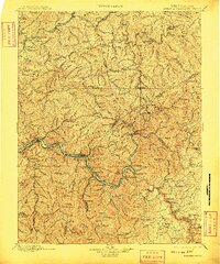
1897 Kanawha Falls
Kanawha County, WV

1900 Kanawha Falls
Kanawha County, WV
1901 Kanawha Falls
Kanawha County, WV
1957 Blue Creek
Kanawha County, WV
1957 Charleston East
Kanawha County, WV
1957 Mammoth
Kanawha County, WV
1957 Romance
Kanawha County, WV
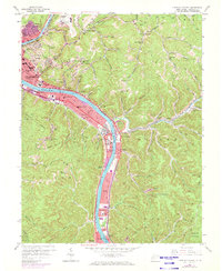
1958 Charleston East
Kanawha County, WV
1958 Charleston West
Kanawha County, WV
1958 Pocatalico
Kanawha County, WV
1958 Quick
Kanawha County, WV
1977 Blue Creek
Kanawha County, WV
1977 Charleston East
Kanawha County, WV
1977 Charleston West
Kanawha County, WV
1977 Pocatalico
Kanawha County, WV

1994 Pocatalico
Kanawha County, WV
1996 Charleston East
Kanawha County, WV
1996 Charleston West
Kanawha County, WV
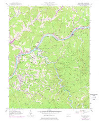
1996 Mammoth
Kanawha County, WV
2000 Quick
Kanawha County, WV
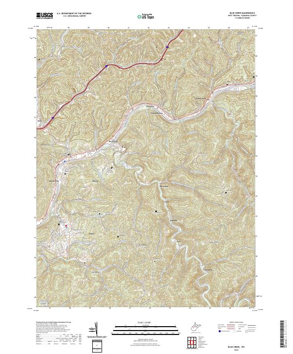
2023 Blue Creek
Kanawha County, WV
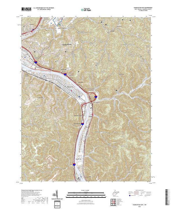
2023 Charleston East
Kanawha County, WV
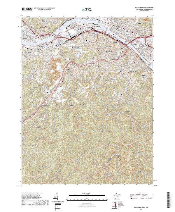
2023 Charleston West
Kanawha County, WV
2023 Mammoth
Kanawha County, WV
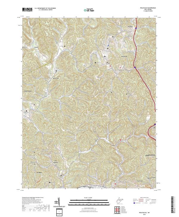
2023 Pocatalico
Kanawha County, WV
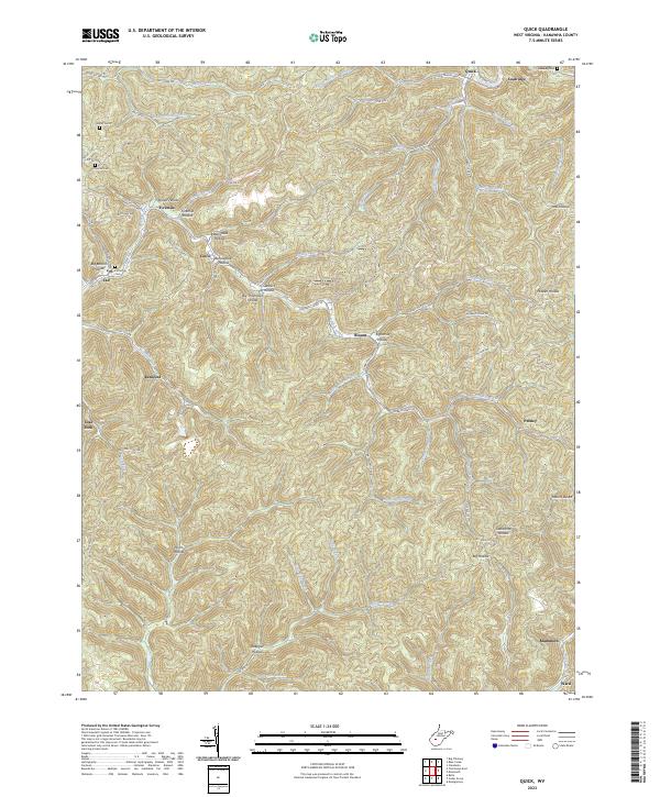
2023 Quick
Kanawha County, WV
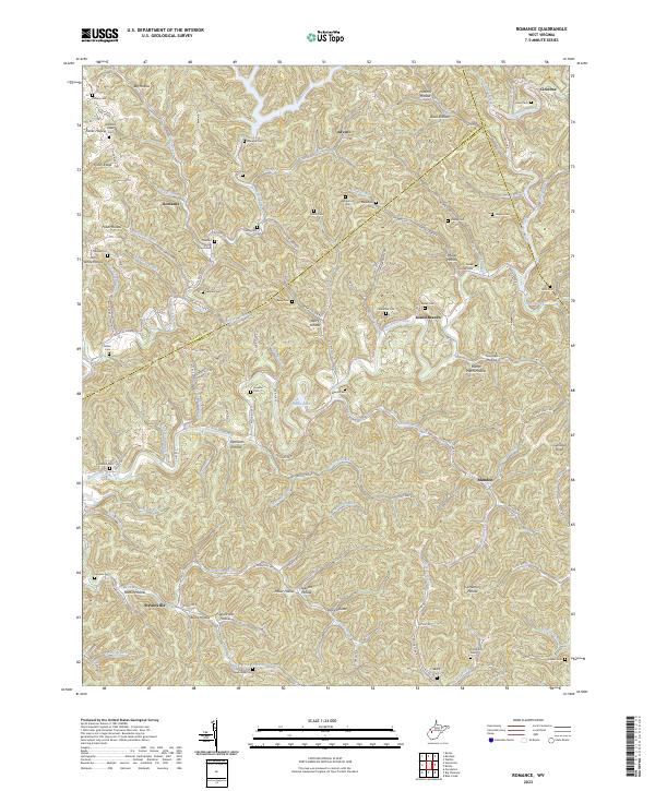
2023 Romance
Kanawha County, WV