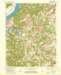
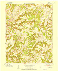
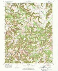
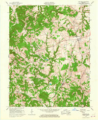
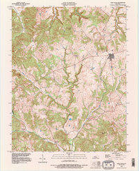
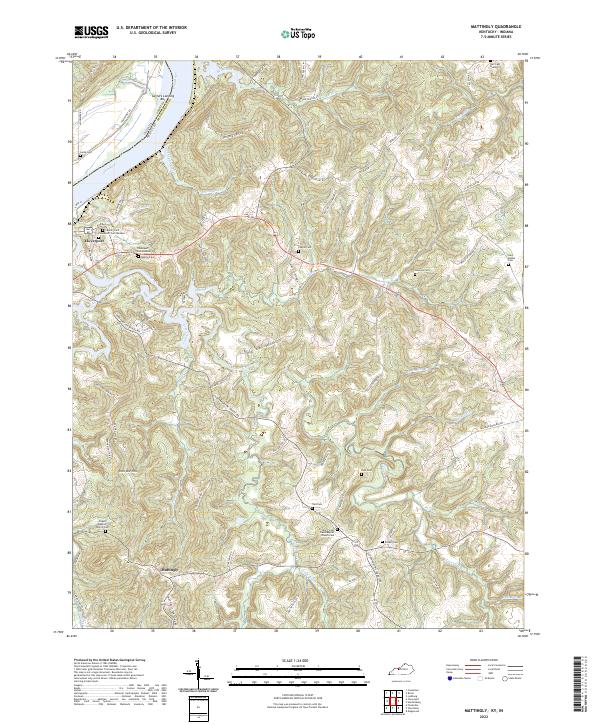
1970 Map of Mattingly
USGS Topo · Published 1972This historical map portrays the area of Mattingly in 1970, primarily covering Breckinridge County as well as portions of Indiana. Featuring a scale of 1:24000, this map provides a highly detailed snapshot of the terrain, roads, buildings, counties, and historical landmarks in the Mattingly region at the time. Published in 1972, it is one of 2 known editions of this map due to revisions or reprints.
Find a feature on this map
43 named features on this map. Tap any name to fly to it.
Don’t see what you’re looking for? This feature index may not catch every label — zoom into the map to look around manually.
Map Details
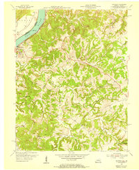
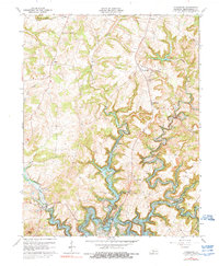
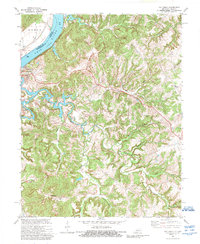
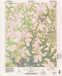
Editions of this 1970 Mattingly Map
2 editions found
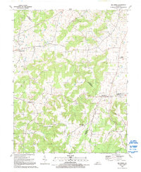
Historical Maps of Perry County Through Time
24 maps found
1947 Garfield
Breckinridge County, KY
1947 Lodiburg
Breckinridge County, KY
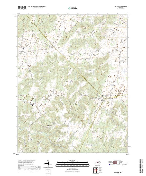
1948 Big Spring
Breckinridge County, KY
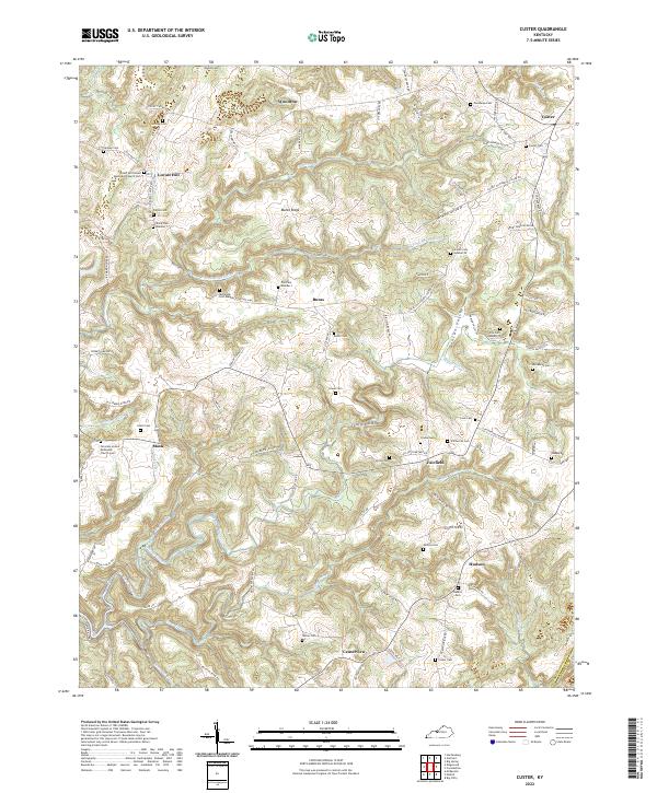
1953 Custer
Breckinridge County, KY
1953 Garfield
Breckinridge County, KY
1953 Glen Dean
Breckinridge County, KY
1953 Kingswood
Breckinridge County, KY
1953 Lodiburg
Breckinridge County, KY
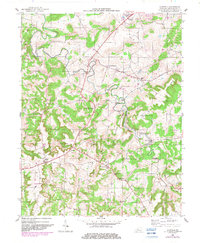
1953 Mattingly
Breckinridge County, KY
1961 Big Spring
Breckinridge County, KY
1963 Custer
Breckinridge County, KY
1963 Glen Dean
Breckinridge County, KY
1963 Kingswood
Breckinridge County, KY
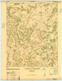
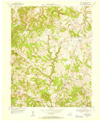
1970 Mattingly
Breckinridge County, KY
1991 Big Spring
Breckinridge County, KY
1993 Glen Dean
Breckinridge County, KY
1993 Kingswood
Breckinridge County, KY
2022 Big Spring
Breckinridge County, KY
2022 Custer
Breckinridge County, KY
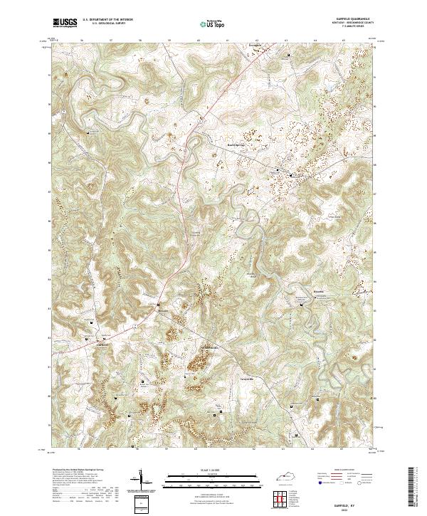
2022 Garfield
Breckinridge County, KY
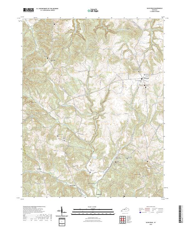
2022 Glen Dean
Breckinridge County, KY
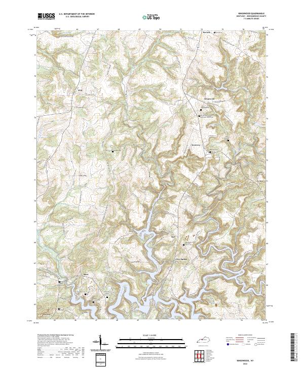
2022 Kingswood
Breckinridge County, KY
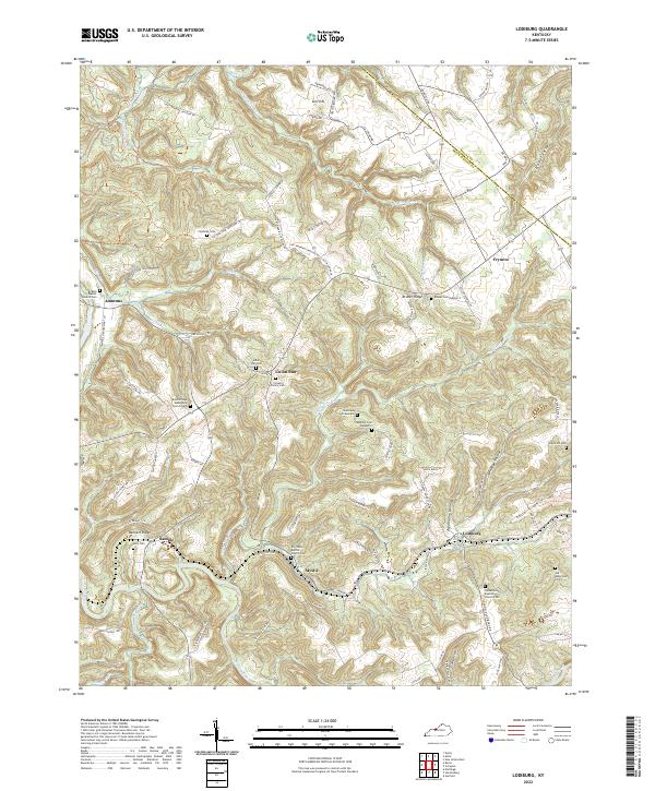
2022 Lodiburg
Breckinridge County, KY
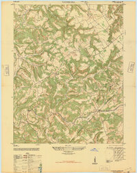
2022 Mattingly
Breckinridge County, KY