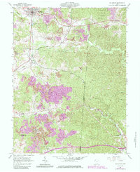
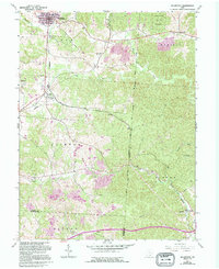
1961 Map of Mcarthur
USGS Topo · Published 1985About this map
The Baltimore and Ohio railroad corridor anchors this survey of Vinton County, charting the industrial and rural life of southern Ohio in the early 1960s with updates through the 1980s. The landscape is defined by extensive extraction, notably around McArthur and Dundas, where numerous strip mines and reclaimed strip mines signify the region's heavy reliance on coal. At Puritan, the presence of Kilns highlights the local manufacturing history that evolved alongside the rail lines.
Find a feature on this map
47 named features on this map. Tap any name to fly to it.
Don’t see what you’re looking for? This feature index may not catch every label — zoom into the map to look around manually.
Map Details
Editions of this 1961 Mcarthur Map
5 editions found
Other maps of this area

1904 · Zaleski
USGS Topo · 1:62,500

1905 · Wilkesville
USGS Topo · 1:62,500

1907 · Zaleski
USGS Topo · 1:62,500

1908 · Wilkesville
USGS Topo · 1:62,500

1910 · Laurelville
USGS Topo · 1:62,500

1912 · Laurelville
USGS Topo · 1:62,500

1913 · Jackson
USGS Topo · 1:62,500

1944 · Jackson
USGS Topo · 1:62,500

1944 · Laurelville
USGS Topo · 1:62,500

1947 · Columbus
USGS Topo · 1:250,000