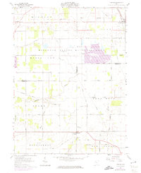
1961 Map of Meeker
USGS Topo · Published 1974About this map
Tymochtee Creek and its tributaries, including Enoch Creek and Prairie Run, define the drainage of this central Ohio landscape during the early 1960s. The northern portion of the map is dominated by the extensive Killdeer Plains Wildlife Area, a significant conservation territory straddling the boundary between Wyandot and Marion counties. Settlement is concentrated in small rural hubs like Harpster, situated along the Chesapeake and Ohio railroad line, and Meeker at the junction of the Kenton Galion Road.
Find a feature on this map
33 named features on this map. Tap any name to fly to it.
Don’t see what you’re looking for? This feature index may not catch every label — zoom into the map to look around manually.
Map Details
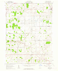
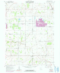
Editions of this 1961 Meeker Map
3 editions found
Other maps of this area

1903 · Marion
USGS Topo · 1:62,500

1905 · Marion
USGS Topo · 1:62,500

1906 · Sycamore
USGS Topo · 1:62,500

1907 · Upper Sandusky
USGS Topo · 1:62,500

1915 · La Rue
USGS Topo · 1:62,500

1950 · Marion
USGS Topo · 1:250,000

1960 · Nevada
USGS Topo · 1:24,000
1960 · Morral
USGS Topo · 1:24,000

1960 · Upper Sandusky
USGS Topo · 1:24,000

1960 · Marseilles
USGS Topo · 1:24,000