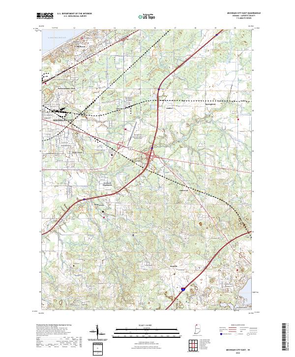
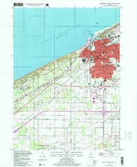
2022 Map of Michigan City East
USGS Topo · Published 2022About this map
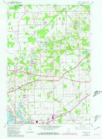
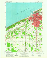
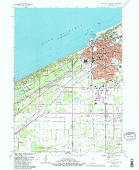
Lake Michigan shorelines and the eastern edges of Michigan City define this northern Indiana landscape, where suburban expansion meets an intricate system of agricultural drainage. The terrain is marked by a network of engineered waterways such as Beck Ditch, Bull Ditch, and White Ditch, which manage the low-lying lands surrounding small bodies of water like Clare Lake and Ohms Lake. This transition from the industrial and residential corridors of Trail Creek and Pottawattamie Park to the rural pockets of Springfield and Andry reveals the area's mid-century development patterns.
Find a feature on this map
117 named features on this map. Tap any name to fly to it.
Don’t see what you’re looking for? This feature index may not catch every label — zoom into the map to look around manually.
Map Details
Editions of this 2022 Michigan City East Map
This is the sole edition of this map. No revisions or reprints were ever made.
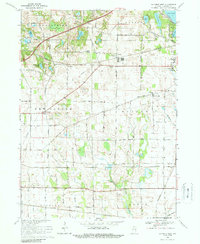
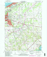
Historical Maps of Ambler Through Time
22 maps found
1953 Michigan City West
LaPorte County, IN
1958 La Porte East
LaPorte County, IN
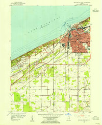
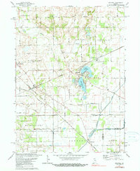
1958 Michigan City East
LaPorte County, IN
1958 Springville
LaPorte County, IN
1958 Stillwell
LaPorte County, IN
1959 English Lake
LaPorte County, IN
1961 La Porte West
LaPorte County, IN
1962 Michigan City West
LaPorte County, IN
1969 La Porte West
LaPorte County, IN
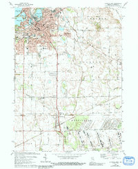
1969 Michigan City East
LaPorte County, IN
1969 Michigan City West
LaPorte County, IN
1974 La Porte East
LaPorte County, IN
1974 Stillwell
LaPorte County, IN
1977 La Porte East
LaPorte County, IN
1994 Michigan City West
LaPorte County, IN
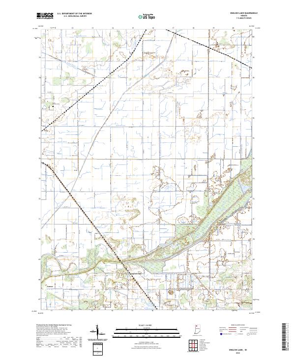
2022 English Lake
LaPorte County, IN
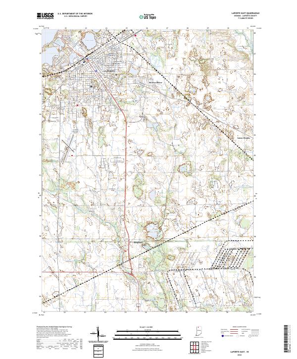
2022 LaPorte East
LaPorte County, IN
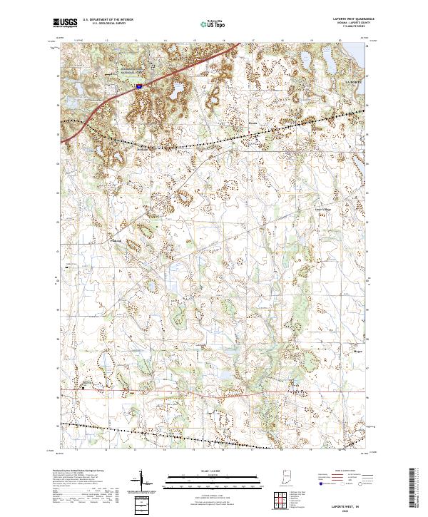
2022 LaPorte West
LaPorte County, IN
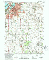
2022 Michigan City East
LaPorte County, IN
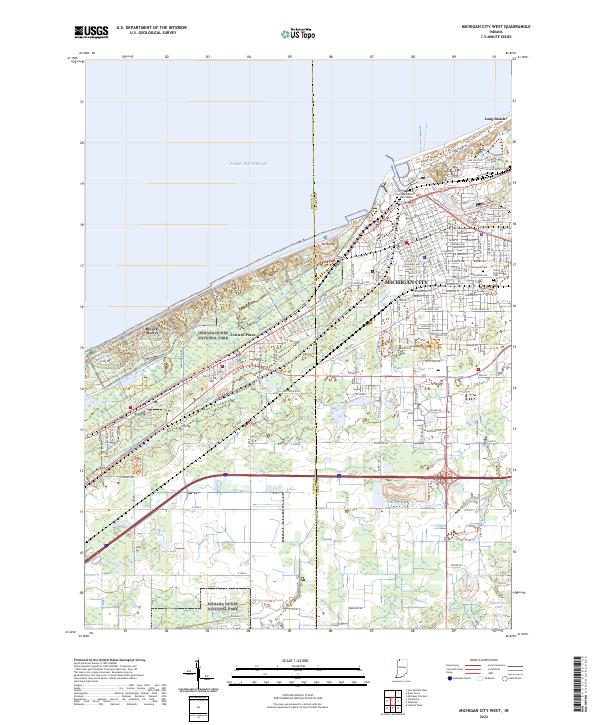
2022 Michigan City West
LaPorte County, IN
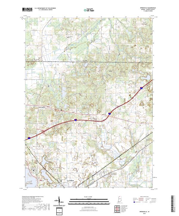
2022 Springville
LaPorte County, IN
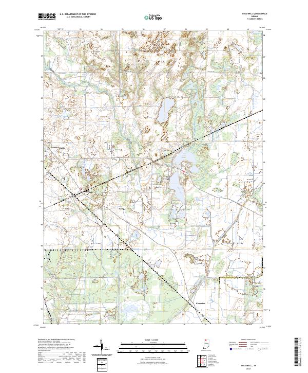
2022 Stillwell
LaPorte County, IN