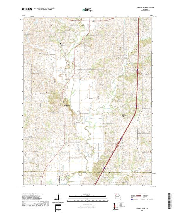
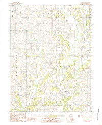
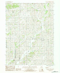
2021 Map of Mitchellville
USGS Topo · Published 2021This historical map portrays the area of Mitchellville in 2021, primarily covering Harrison County as well as portions of Daviess County. Featuring a scale of 1:24000, this map provides a highly detailed snapshot of the terrain, roads, buildings, counties, and historical landmarks in the Mitchellville region at the time. Published in 2021, it is the sole known edition of this map.
Map Details
Editions of this 2021 Mitchellville Map
This is the sole edition of this map. No revisions or reprints were ever made.
Historical Maps of Wildwood Through Time
20 maps found
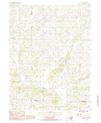
1981 Akron
Harrison County, MO
1981 Hatfield
Harrison County, MO
1981 Pawnee
Harrison County, MO
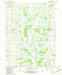
1984 Brooklyn
Harrison County, MO
1984 Gardner
Harrison County, MO
1984 Gilman City East
Harrison County, MO
1984 Gilman City West
Harrison County, MO
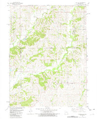
1984 Matkins
Harrison County, MO
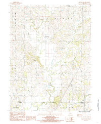
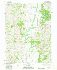
1984 Mitchellville
Harrison County, MO
1984 Washington Center
Harrison County, MO
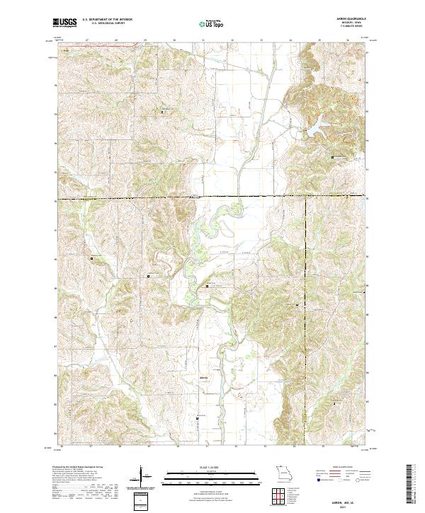
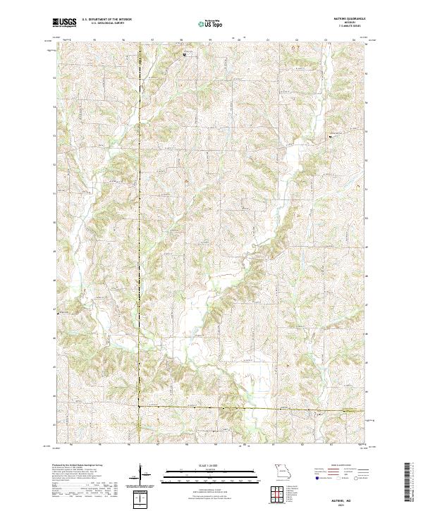
2021 Akron
Harrison County, MO
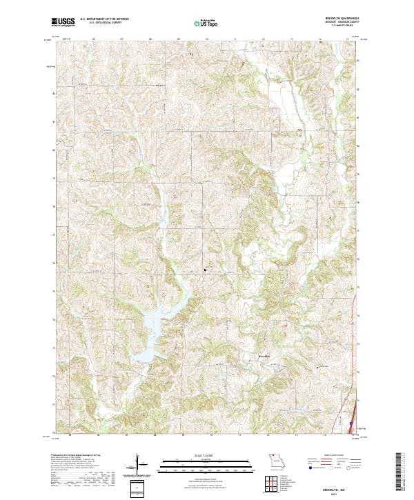
2021 Brooklyn
Harrison County, MO
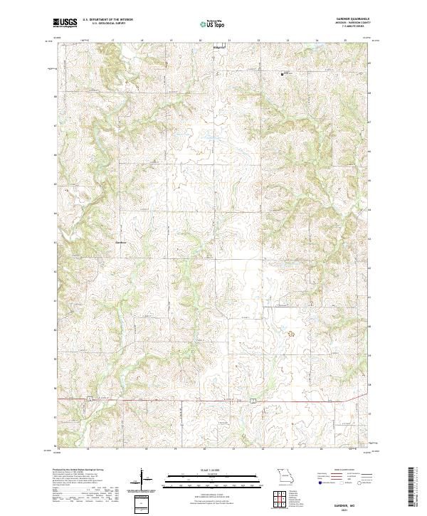
2021 Gardner
Harrison County, MO
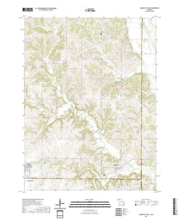
2021 Gilman City East
Harrison County, MO
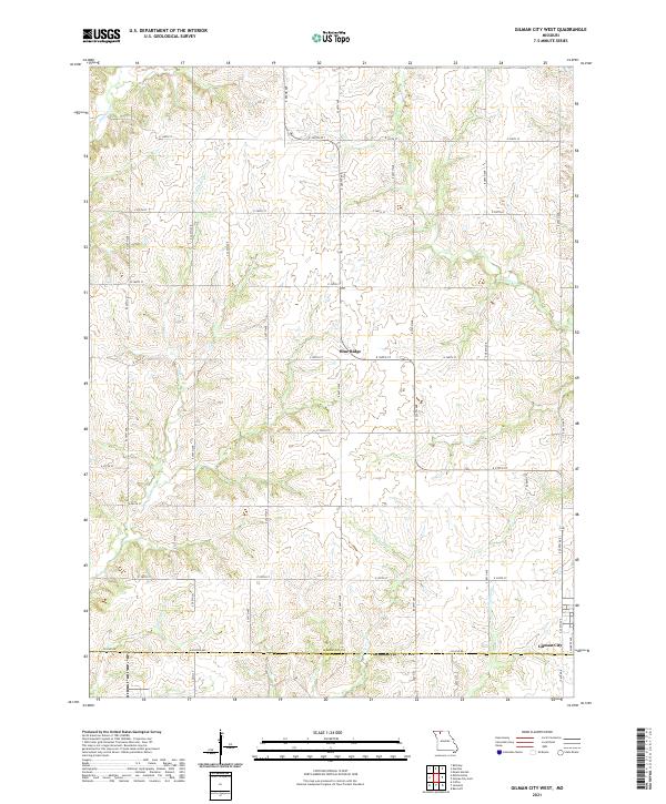
2021 Gilman City West
Harrison County, MO
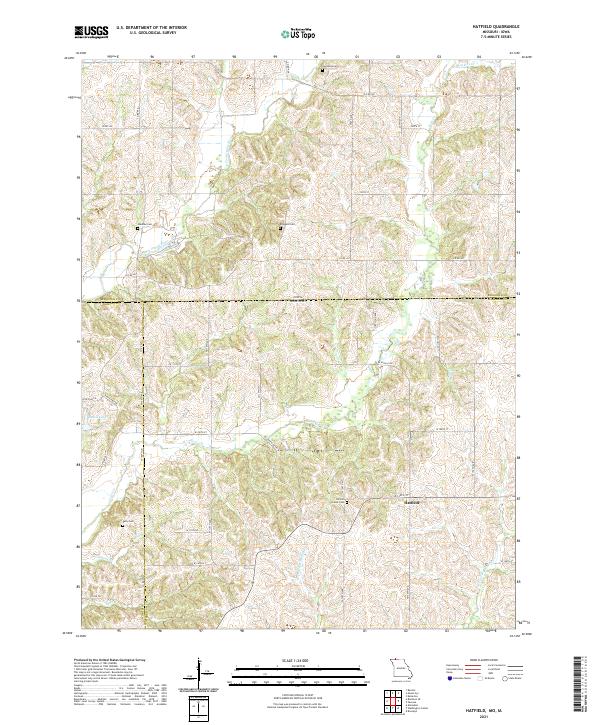
2021 Hatfield
Harrison County, MO
2021 Matkins
Harrison County, MO
2021 Mitchellville
Harrison County, MO
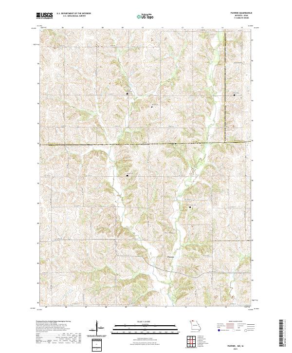
2021 Pawnee
Harrison County, MO
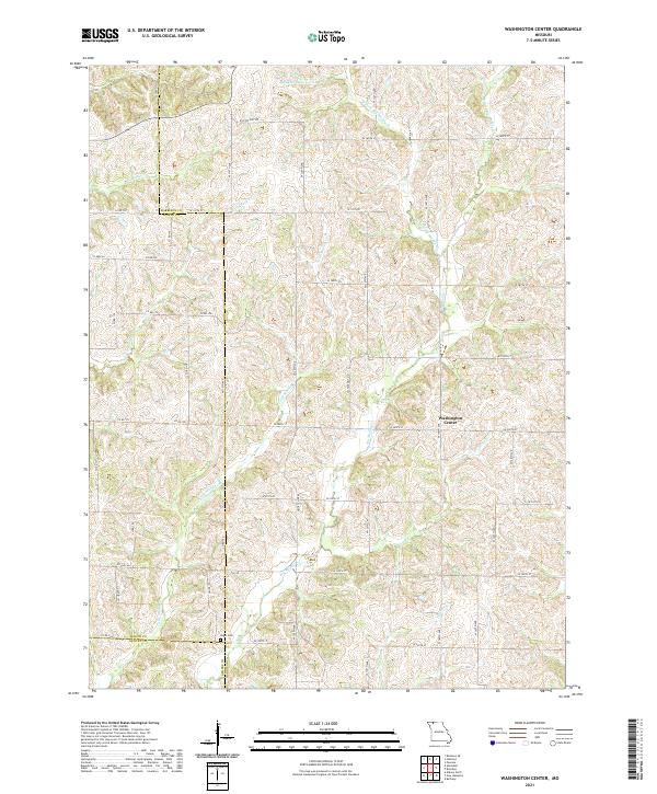
2021 Washington Center
Harrison County, MO