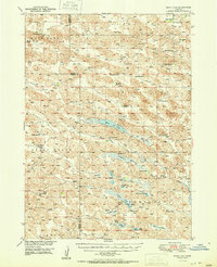
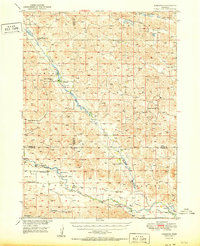
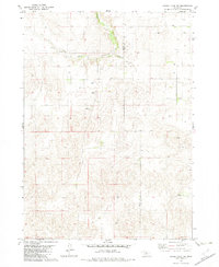
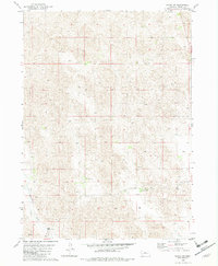
1951 Map of Moon Lake
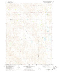
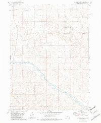
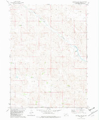
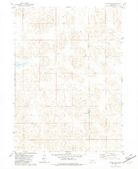
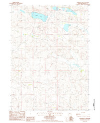
USGS Topo · Published 1951This historical map portrays the area of Moon Lake in 1951, primarily covering Brown County as well as portions of Cherry County. Featuring a scale of 1:62500, this map provides a highly detailed snapshot of the terrain, roads, buildings, counties, and historical landmarks in the Moon Lake region at the time. Published in 1951, it is one of 2 known editions of this map due to revisions or reprints.
Find a feature on this map
51 named features on this map. Tap any name to fly to it.
Don’t see what you’re looking for? This feature index may not catch every label — zoom into the map to look around manually.
Map Details
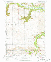
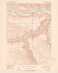
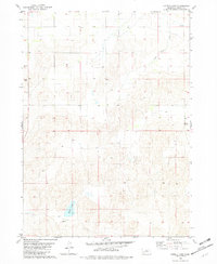
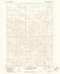
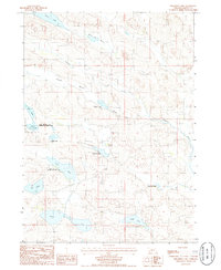
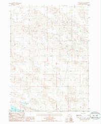
Editions of this 1951 Moon Lake Map
2 editions found
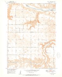
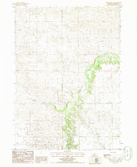
Historical Maps of Brown County Through Time
21 maps found
1949 Dutch Creek
Brown County, NE

1949 Koshopah
Brown County, NE
1950 Bassett NW
Brown County, NE
1950 Dutch Creek
Brown County, NE
1951 Koshopah
Brown County, NE
1951 Moon Lake
Brown County, NE
1954 Ainsworth NW
Brown County, NE
1954 Ainsworth SW
Brown County, NE
1981 Paramount Valley
Brown County, NE
1982 Goldman Lake NE
Brown County, NE
1982 Goldman Lake NW
Brown County, NE
1982 Hagan Lake
Brown County, NE
1982 Hagan Lake NW
Brown County, NE
1982 Hofeld Lake
Brown County, NE
1982 Lost Lake Ranch
Brown County, NE
1982 Raven
Brown County, NE
1982 Raven SW
Brown County, NE
1985 Philbrick Lake
Brown County, NE
1985 White Cap Hill
Brown County, NE
1985 Wood Lake NE
Brown County, NE
1986 Koshopah NE
Brown County, NE