2022 Map of Mount Airy North
USGS Topo · Published 2022About this map
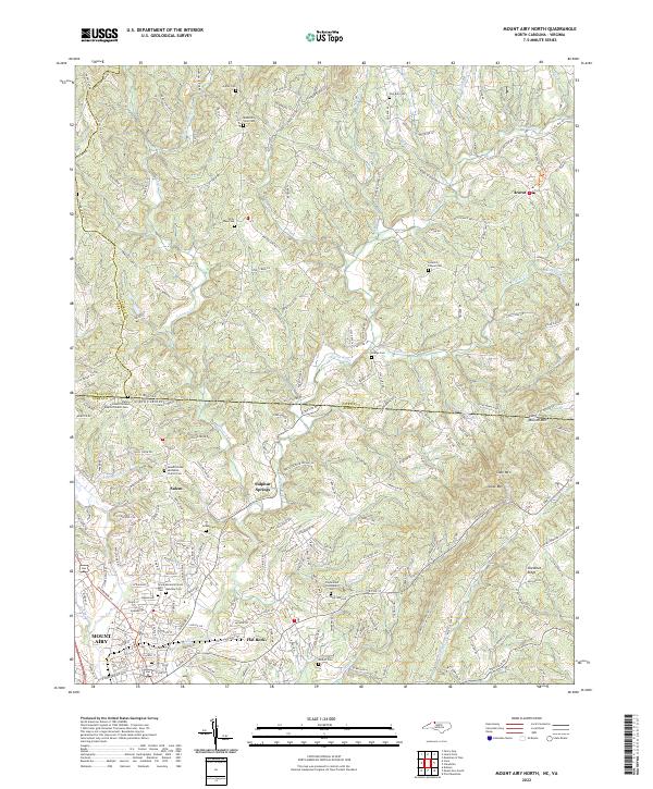
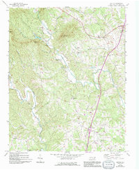
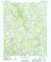
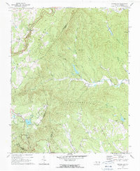
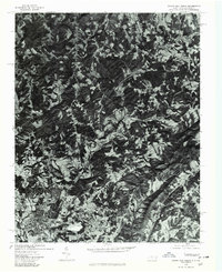
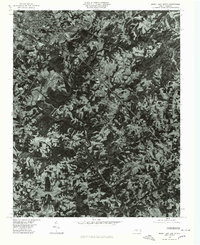
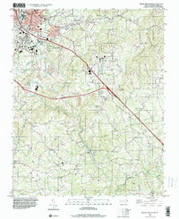
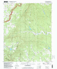
Mount Airy anchor the southwestern corner of this survey, where the Ararat River begins its winding course toward the southeast through Surry County. The landscape is defined by its transition from the urban street grid of town into the ridgelines and hollows of the Blue Ridge foothills. The state line between North Carolina and Virginia cuts across the northern third of the map, marked by several border-straddling landmarks like the Line Primitive Baptist Church.
Find a feature on this map
198 named features on this map. Tap any name to fly to it.
Don’t see what you’re looking for? This feature index may not catch every label — zoom into the map to look around manually.
Map Details
Editions of this 2022 Mount Airy North Map
This is the sole edition of this map. No revisions or reprints were ever made.
Historical Maps of Salem Through Time
21 maps found
1970 Copeland
Surry County, NC
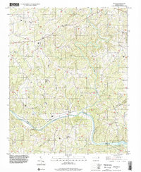
1970 Mount Airy South
Surry County, NC
1970 Siloam
Surry County, NC
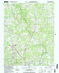
1971 Bottom
Surry County, NC
1971 Elkin North
Surry County, NC
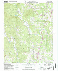
1971 Roaring Gap
Surry County, NC
1976 Elkin North
Surry County, NC
1976 Mount Airy North
Surry County, NC
1976 Mount Airy South
Surry County, NC
1996 Mount Airy South
Surry County, NC
1997 Roaring Gap
Surry County, NC
1997 Siloam
Surry County, NC
2000 Bottom
Surry County, NC
2000 Elkin North
Surry County, NC
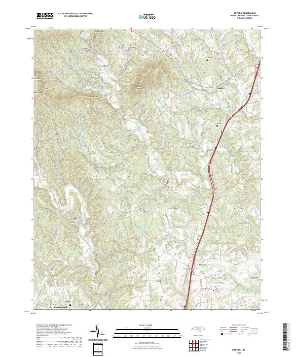
2022 Bottom
Surry County, NC
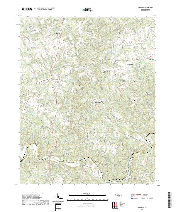
2022 Copeland
Surry County, NC
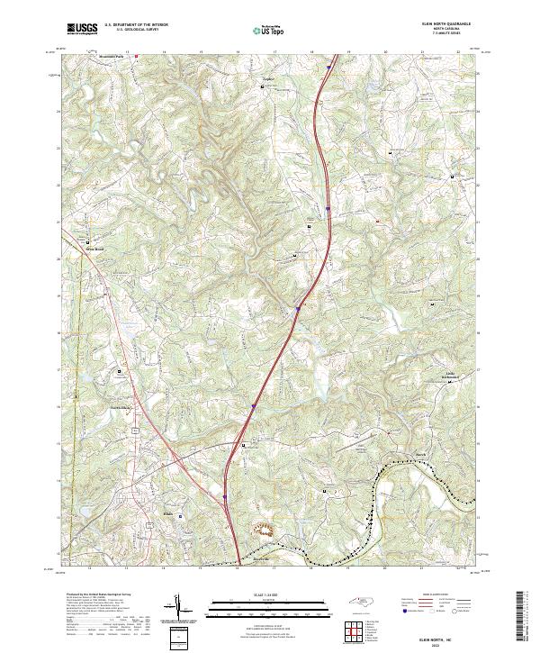
2022 Elkin North
Surry County, NC
2022 Mount Airy North
Surry County, NC
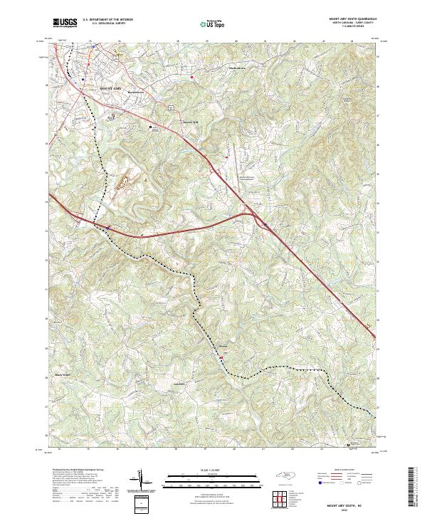
2022 Mount Airy South
Surry County, NC
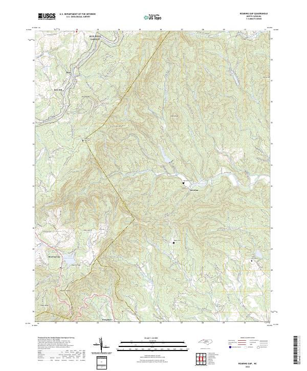
2022 Roaring Gap
Surry County, NC
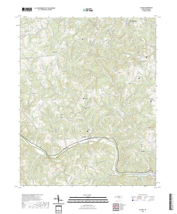
2022 Siloam
Surry County, NC