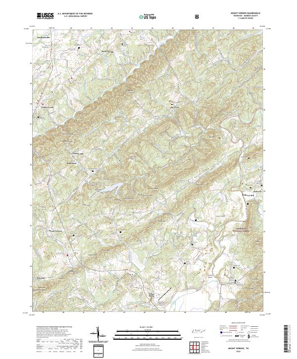
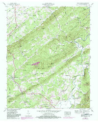
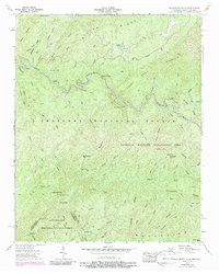
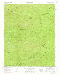
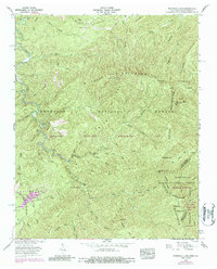
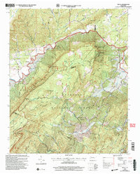
2022 Map of Mount Vernon
USGS Topo · Published 2022About this map
Tellico Plains serves as a southern anchor for this Monroe County landscape, where the Tellico River flows near the boundary of the Cherokee National Forest. The map documents a rugged transition between the valley floor and the high ridges of the Unicoi Mountains, characterized by several topographic gaps such as Bogard Gap, McKinney Gap, and Givens Gap. Historical industry is evident through the naming of Stakely Mill and Belltown Mill, suggesting a legacy of water-powered commerce along the many branches that feed into Notchy Creek and its neighboring streams.
Find a feature on this map
182 named features on this map. Tap any name to fly to it.
Don’t see what you’re looking for? This feature index may not catch every label — zoom into the map to look around manually.
Map Details
Editions of this 2022 Mount Vernon Map
This is the sole edition of this map. No revisions or reprints were ever made.
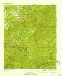
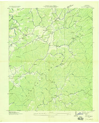
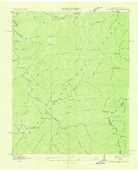
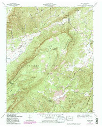
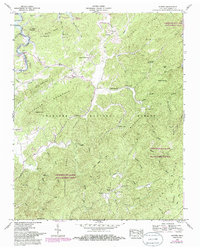
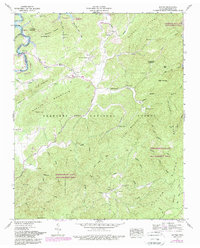
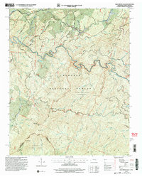
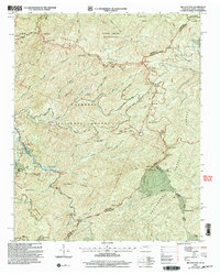
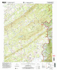
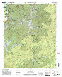
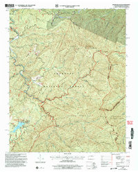
Historical Maps of Mount Harmony Through Time
29 maps found

1927 Big Junction
Monroe County, TN

1933 Bald River Falls
Monroe County, TN
1933 Haw Knob
Monroe County, TN
1933 Rafter
Monroe County, TN
1933 Whiteoak Flats
Monroe County, TN

1934 Mecca
Monroe County, TN
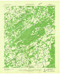
1934 Mount Vernon
Monroe County, TN

1935 Tellico
Monroe County, TN
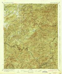
1937 Haw Knob
Monroe County, TN
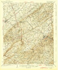
1943 Tellico
Monroe County, TN
1946 Mount Vernon
Monroe County, TN
1957 Bald River Falls
Monroe County, TN
1957 Big Junction
Monroe County, TN
1957 Mecca
Monroe County, TN
1957 Rafter
Monroe County, TN
1957 Whiteoak Flats
Monroe County, TN
1984 Rafter
Monroe County, TN
2003 Bald River Falls
Monroe County, TN
2003 Big Junction
Monroe County, TN
2003 Mecca
Monroe County, TN
2003 Mount Vernon
Monroe County, TN
2003 Rafter
Monroe County, TN
2003 Whiteoak Flats
Monroe County, TN
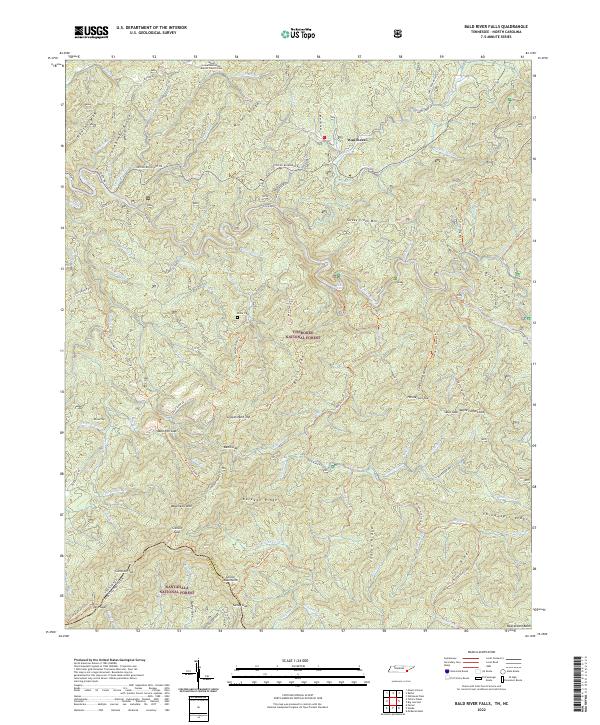
2022 Bald River Falls
Monroe County, TN
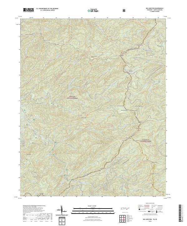
2022 Big Junction
Monroe County, TN
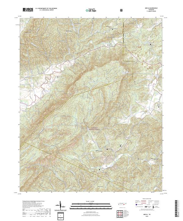
2022 Mecca
Monroe County, TN
2022 Mount Vernon
Monroe County, TN
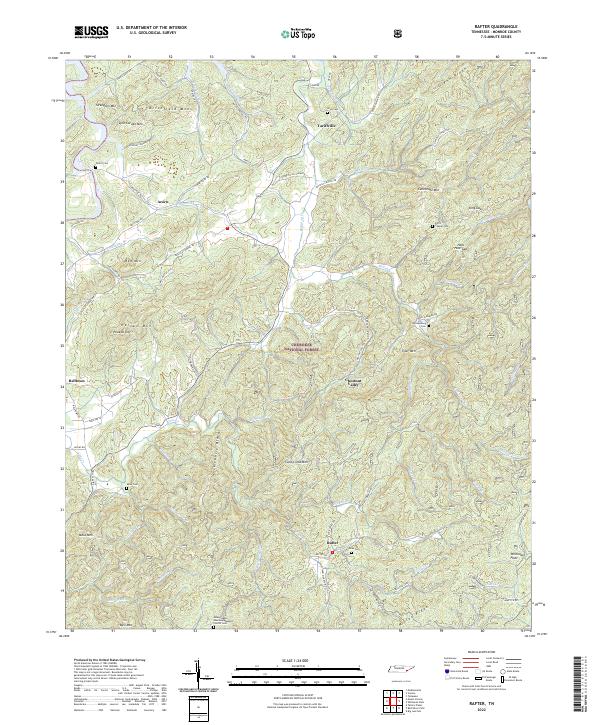
2022 Rafter
Monroe County, TN
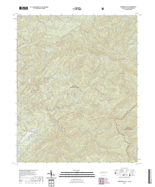
2022 Whiteoak Flats
Monroe County, TN