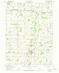
1960 Map of Mt Blanchard
USGS Topo · Published 1973About this map
Mt Blanchard serves as the focal point of this agricultural landscape in southeastern Hancock County, situated where the Blanchard River makes a sharp southward bend and meets Potato Run. The map documents a rural Ohio territory transitioning into the late twentieth century, with the Canton and Youngstown Pipeline cutting across the farmland and several active Oil Wells peppered between Houcktown and the township lines.
Find a feature on this map
34 named features on this map. Tap any name to fly to it.
Don’t see what you’re looking for? This feature index may not catch every label — zoom into the map to look around manually.
Map Details
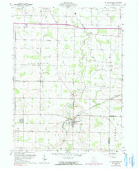
Editions of this 1960 Mt Blanchard Map

Other maps of this area

1901 · Fostoria
USGS Topo · 1:62,500

1903 · Fostoria
USGS Topo · 1:62,500

1903 · Findlay
USGS Topo · 1:62,500

1905 · Arlington
USGS Topo · 1:62,500

1907 · Arlington
USGS Topo · 1:24,000

1907 · Upper Sandusky
USGS Topo · 1:62,500

1950 · Marion
USGS Topo · 1:250,000

1956 · Toledo
USGS Topo · 1:250,000

1960 · Alvada
USGS Topo · 1:24,000

1960 · Arlington
USGS Topo · 1:24,000