
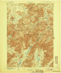
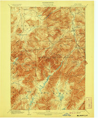
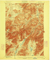
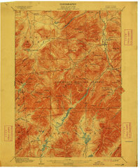
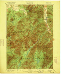
1902 Map of Mt. Marcy
USGS Topo · Published 1946About this map
Mt. Marcy and the high peaks of Essex County dominate this turn-of-the-century reconnaissance survey, which captures the early conservation era of the Adirondack Mountain Reserve. The map reveals a landscape defined by its glacial hydrology, from the high-elevation Lake Tear and Lake Colden to the larger Lower Ausable Lake and Upper Ausable Lake. The settlement pattern is sparse, centered on seasonal mountaineering hubs like Adirondack Lodge and the river-valley communities of Keene Valley and St.Huberts.
Find a feature on this map
106 named features on this map. Tap any name to fly to it.
Don’t see what you’re looking for? This feature index may not catch every label — zoom into the map to look around manually.
Map Details
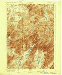
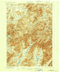
Editions of this 1902 Mt. Marcy Map
10 editions found


Other maps of this area

1894 · Elizabethtown
USGS Topo · 1:62,500

1895 · Elizabethtown
USGS Topo · 1:62,500

1895 · Mt. Marcy
USGS Topo · 1:62,500

1895 · Ausable
USGS Topo · 1:62,500

1895 · Paradox Lake
USGS Topo · 1:62,500

1896 · Lake Placid
USGS Topo · 1:62,500

1897 · Paradox Lake
USGS Topo · 1:62,500

1897 · Schroon Lake
USGS Topo · 1:62,500

1898 · Newcomb
USGS Topo · 1:62,500

1898 · Lake Placid
USGS Topo · 1:62,500