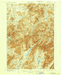
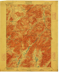
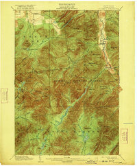
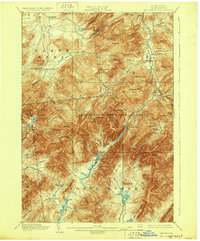
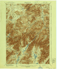
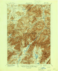
1902 Map of Mt. Marcy
USGS Topo · Published 1932About this map
Adirondack Mountain Reserve dominates this 1902 survey, centering on the High Peaks region of Essex County. The map captures the early recreation landscape of the late 19th century, featuring established nodes like the Adirondack Lodge at Heart Lake and the settlement of St. Huberts. The topography is defined by the headwaters of the Opalescent River and the West Br. Ausable River, which carve deep valleys between massive summits like Gothic Mt. and Dix Mt..
Find a feature on this map
103 named features on this map. Tap any name to fly to it.
Don’t see what you’re looking for? This feature index may not catch every label — zoom into the map to look around manually.
Map Details
Editions of this 1902 Mt. Marcy Map
10 editions found

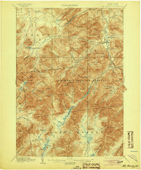
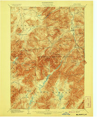
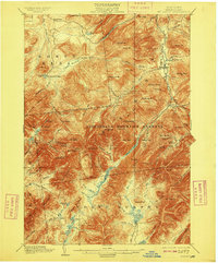
Other maps of this area

1894 · Elizabethtown
USGS Topo · 1:62,500

1895 · Elizabethtown
USGS Topo · 1:62,500

1895 · Mt. Marcy
USGS Topo · 1:62,500

1895 · Ausable
USGS Topo · 1:62,500

1895 · Paradox Lake
USGS Topo · 1:62,500

1896 · Lake Placid
USGS Topo · 1:62,500

1897 · Paradox Lake
USGS Topo · 1:62,500

1897 · Schroon Lake
USGS Topo · 1:62,500

1898 · Newcomb
USGS Topo · 1:62,500

1898 · Lake Placid
USGS Topo · 1:62,500